Lane, Oklahoma | |
|---|---|
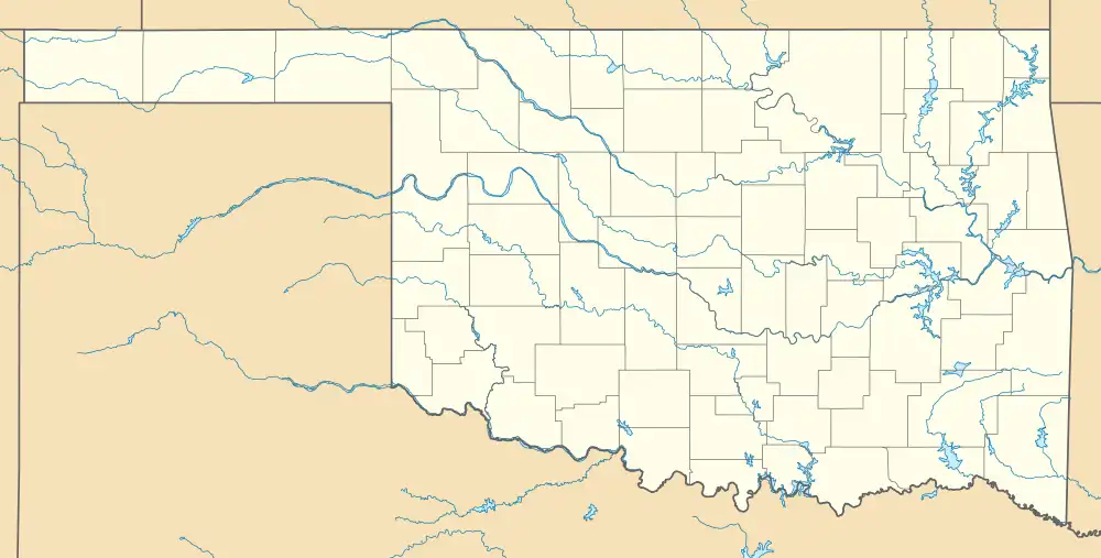 Lane Location within the state of Oklahoma | |
| Coordinates: 34°17′59″N 95°59′22″W / 34.29972°N 95.98944°W | |
| Country | United States |
| State | Oklahoma |
| County | Atoka |
| Area | |
| • Total | 7.99 sq mi (20.69 km2) |
| • Land | 7.95 sq mi (20.60 km2) |
| • Water | 0.04 sq mi (0.09 km2) |
| Elevation | 581 ft (177 m) |
| Population (2020) | |
| • Total | 300 |
| • Density | 37.73/sq mi (14.57/km2) |
| Time zone | UTC-6 (Central (CST)) |
| • Summer (DST) | UTC-5 (CDT) |
| FIPS code | 40-41400 |
| GNIS feature ID | 2629925[2] |
Lane is an unincorporated community and census-designated place in Atoka County, Oklahoma, United States.
A post office was established at Lane, Indian Territory on October 6, 1902. Its name reflects the fact the new post office was located in a building which was at the end of lane bounded by rail fencing. At the time of its founding, Lane was located in Atoka County, Choctaw Nation, a territorial-era government unit.[3]
As of the 2010 census, the CDP had a population of 414.[4]
Lane is located along the State Highway 3, 10 miles (16 km) southeast of Atoka.[5]
McGee Creek Reservoir, which impounds the waters of McGee Creek, lies northeast of Lane. McGee Creek is a tributary of Muddy Boggy Creek, which flows east of Lane.
The famous rodeo world champion Lane Frost (1963-1989) once lived in Lane, as do his parents. Frost graduated from high school in Atoka.
Demographics
| Census | Pop. | Note | %± |
|---|---|---|---|
| 2020 | 300 | — | |
| U.S. Decennial Census[6] | |||
References
- ↑ "ArcGIS REST Services Directory". United States Census Bureau. Retrieved September 20, 2022.
- 1 2 U.S. Geological Survey Geographic Names Information System: Lane, Oklahoma
- ↑ Morris, John W. Historical Atlas of Oklahoma (Norman: University of Oklahoma Press, 1986), plate 38; Shirk, George H. Oklahoma Place Names (Norman: University of Oklahoma Press, 1965), p. 121.
- ↑ "Geographic Identifiers: 2010 Demographic Profile Data (G001): Lane CDP, Oklahoma". U.S. Census Bureau, American Factfinder. Archived from the original on February 12, 2020. Retrieved July 16, 2013.
- ↑ Official State Map (Map) (2008 ed.). Oklahoma Department of Transportation.
- ↑ "Census of Population and Housing". Census.gov. Retrieved June 4, 2016.
Municipalities and communities of Atoka County, Oklahoma, United States | ||
|---|---|---|
| City | 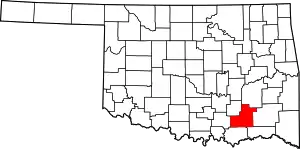 Atoka County map | |
| Towns | ||
| CDPs | ||
| Other communities | ||
| Ghost towns | ||
| Indian reservation | ||
| Footnotes | ‡This populated place also has portions in another county or counties | |