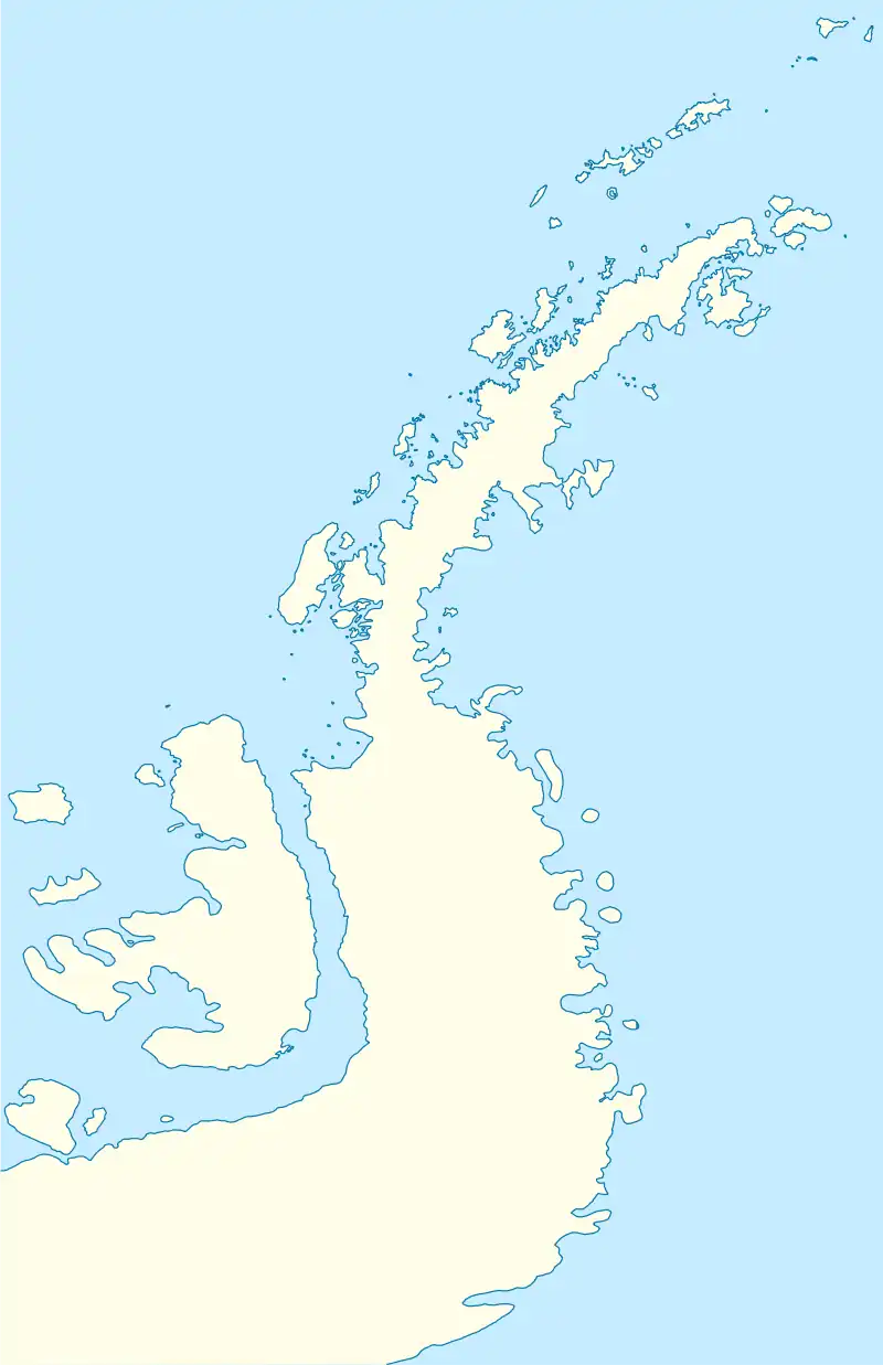
 Lapteva Island | |
| Geography | |
|---|---|
| Location | Antarctica |
| Coordinates | 64°14′50″S 63°30′47″W / 64.24722°S 63.51306°W |
| Archipelago | Palmer Archipelago |
| Administration | |
| Administered under the Antarctic Treaty System | |
| Demographics | |
| Population | Uninhabited |
Lapteva Island (Bulgarian: остров Лаптева, romanized: ostrov Lapteva, IPA: [ˈɔstrof ˈɫaptɛvɐ]) is the island lying 1 km off the north coast of Anvers Island in the Palmer Archipelago, Antarctica. The feature extends 900 m in north-south direction and 880 m in east-west direction.[1][2][3]
The island is named after Gergana Lapteva, geologist at St. Kliment Ohridski base in 2006/07 and subsequent seasons.
Location
Lapteva Island is located at 64°14′50″S 63°30′47″W / 64.24722°S 63.51306°W, 10.54 km northeast of Quinton Point, 1.5 km west-southwest of Lajarte Islands, 8.93 km west of Cape Grönland and 3.38 km west by north of Oberbauer Point. British mapping in 1980.
Maps
- British Antarctic Territory. Scale 1:200000 topographic map. DOS 610 Series, Sheet W 64 62. Directorate of Overseas Surveys, UK, 1980.
- Antarctic Digital Database (ADD). Scale 1:250000 topographic map of Antarctica. Scientific Committee on Antarctic Research (SCAR). Since 1993, regularly upgraded and updated.
References
- ↑ "SCAR Composite Gazetteer". data.aad.gov.au. Retrieved 10 December 2023.
- ↑ "СПРАВОЧНИК НА БЪЛГАРСКИТЕ ГЕОГРАФСКИ ИМЕНА В АНТАРКТИКА" (PDF).
- ↑ "Bulgarian Antarctic Gazetteer" (PDF).
External links
- Lapteva Island. Copernix satellite image
This article includes information from the Antarctic Place-names Commission of Bulgaria which is used with permission.