Laurel Airport | |||||||||||
|---|---|---|---|---|---|---|---|---|---|---|---|
| Summary | |||||||||||
| Airport type | Public | ||||||||||
| Operator | DGAC | ||||||||||
| Serves | Laurel, Costa Rica | ||||||||||
| Elevation AMSL | 213 ft / 65 m | ||||||||||
| Coordinates | 08°26′25″N 82°54′30″W / 8.44028°N 82.90833°W | ||||||||||
| Map | |||||||||||
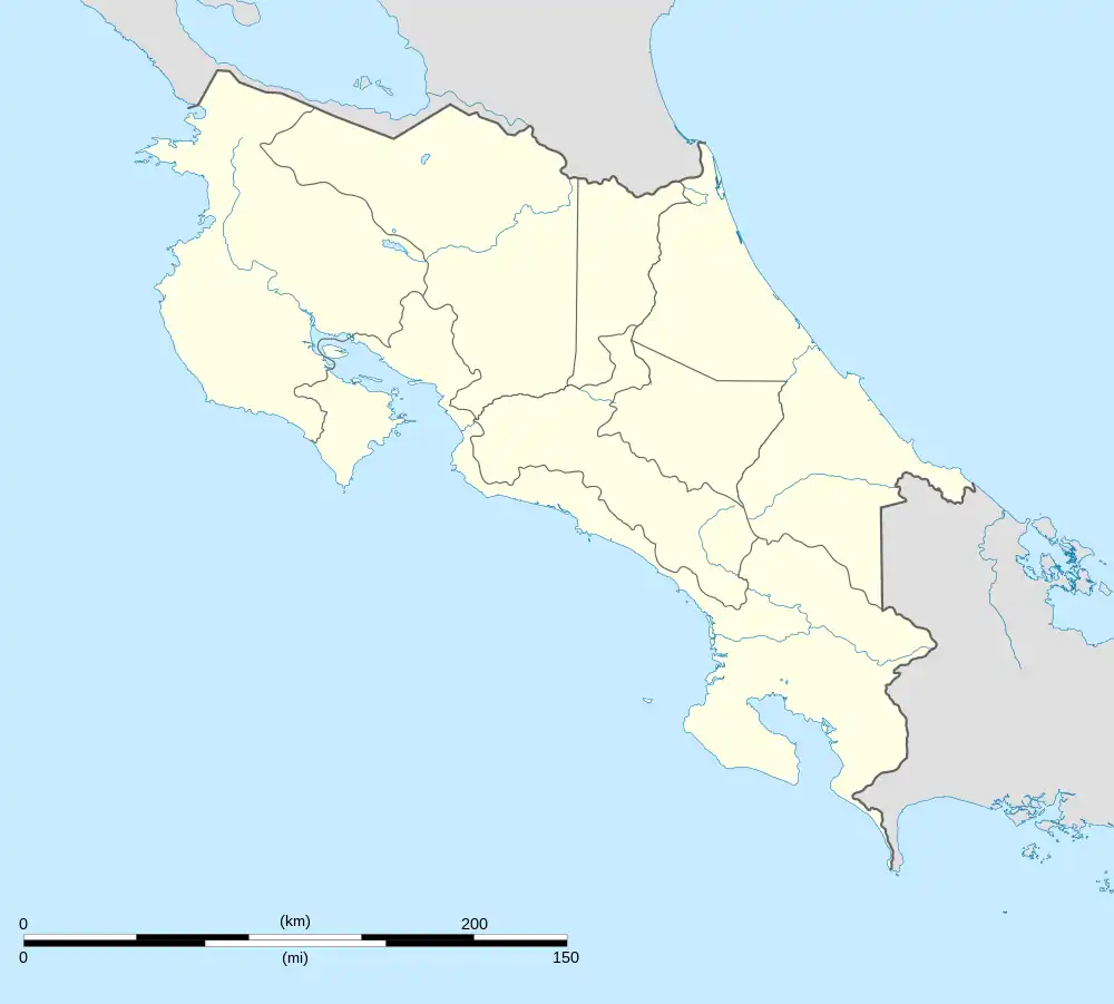
 MRLE Location in Costa Rica | |||||||||||
| Runways | |||||||||||
| |||||||||||
Laurel Airport (ICAO: MRLE) is an airport serving the village of Laurel in Puntarenas Province, Costa Rica. The airport is among palm oil plantations, near the border with Panama.
Facilities
There are hangars on the threshold of runway 11 that support aerial spraying and ultralight aircraft. The runway is on the southwest edge of the village.
See also
References
- ↑ AIP - Part 3 Aerodromes Archived 2011-09-27 at the Wayback Machine
- ↑ "Laurel Airport". SkyVector. Retrieved 3 March 2019.
External links
- Airport information for Laurel Airport at Great Circle Mapper.
- Accident history for MRLE at Aviation Safety Network
- DGAC list of Costa Rica airports
This article is issued from Wikipedia. The text is licensed under Creative Commons - Attribution - Sharealike. Additional terms may apply for the media files.