
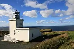
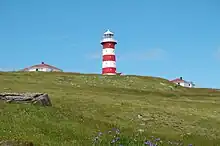
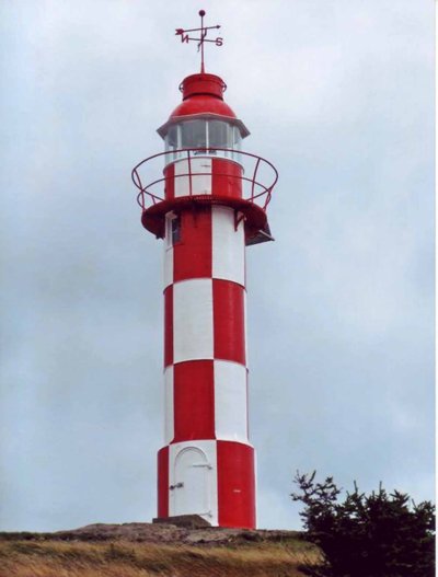
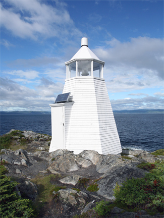
Sheringham Point Lighthouse
This is a list of lighthouses in Canada. These may naturally be divided into lighthouses on the Pacific coast, on the Arctic Ocean, in the Hudson Bay watershed, on the Labrador Sea and Gulf of St. Lawrence, in the St. Lawrence River watershed (including the Great Lakes), and on the Atlantic seaboard.
British Columbia

Fisgard Light
- Active Pass Lighthouse
- Addenbroke Island Lightstation
- Amphitrite Point Lighthouse
- Boat Bluff lighthouse
- Bonilla Island Lightstation
- Brockton Point Lightstation
- Cape Beale Lightstation
- Cape Mudge Lighthouse
- Cape Scott Lighthouse
- Carmanah Point Light Station
- Chatham Point lighthouse
- Chrome Island Lightstation
- Discovery Island Light
- Dryad Point Lighthouse
- Egg Island Lightstation
- Entrance Island Lightstation
- Estevan Point Lighthouse
- Fisgard Lighthouse, the oldest lighthouse on the West Coast of Canada.
- Gallows Point Light
- Green Island Lightstation
- Holland Rock Lightstation
- Ivory Island Lightstation
- Kains Island Lightstation
- Langara Light
- Lennard Island Lightstation[1]
- Lucy Island Lighthouse
- Nootka Lighthouse
- Ogden Point Breakwater Lighthouse
- Pachena Point Lighthouse
- Pine Island Lightstation
- Point Atkinson Lighthouse
- Pointer Island Lightstation
- Race Rocks Lighthouse, the second oldest lighthouse on the West Coast of Canada.
- Roberts Bank Light
- Sands Head Light
- Scarlett Point Lighthouse
- Sheringham Point Lighthouse
- Sisters Island Lightstation
- Trial Islands Lighthouse
- Triple Island Lightstation
- Triangle Island Lightstation
Manitoba
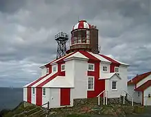
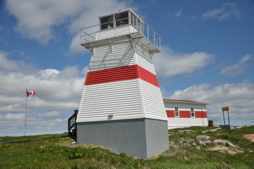
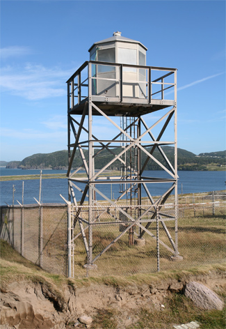
Newfoundland and Labrador
Labrador
This is a list of lighthouses in Labrador.[4][5]


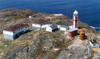
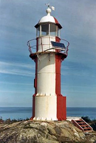
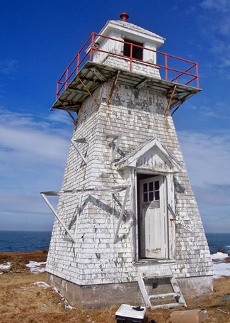
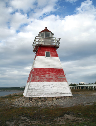
Newfoundland Atlantic Coast
This is a list of lighthouses on Newfoundland's Atlantic Coast.[6] [7][5]


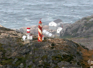
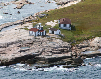
.jpg.webp)

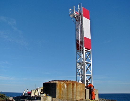
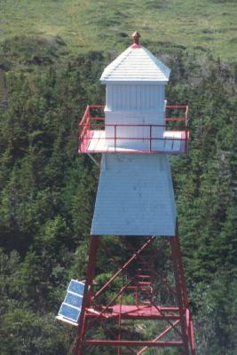
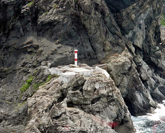
Newfoundland South Coast
This is a list of lighthouses in Newfoundland South Coast.[8][9] [5]


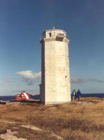
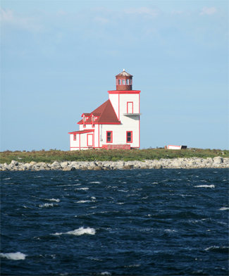
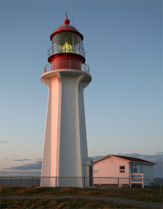
Newfoundland West Coast
This is a list of lighthouses in Newfoundland West Coast.[10][11] [5]


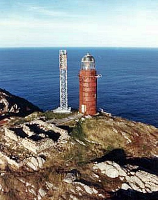
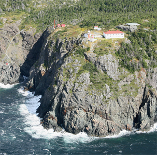
.jpg.webp)

New Brunswick
- Anderson Hollow
- Bayswater
- Belyea's Point
- Cape Enrage
- Cape Spencer Light
- Cocagne
- Dixon Point
- Gannet Rock
- Grand Harbour Lighthouse
- Green's Point
- Head Harbour
- Inch Arran
- Jerome Point
- Lighthouse on the Green
- Long Eddy Point
- Machias Seal Island
- Miscou Island Lighthouse
- Mulholland Point
- Oak Point
- Old Portage Island
- Point-du-Chene
- Pointe-Sapin
- Quaco Head
- Richiboucto Head
- Southwest Head
- Swallowtail Lighthouse
Nova Scotia
- Balache Point Lighthouse
- Bass River, lighthouse, in use from 1908 to the 1980s
- Devils Island Light
- Cape Forchu Lighthouse
- Cape George Point Lighthouse, located in Antigonish County
- Cape North Lighthouse, in use from 1908 to 1980
- Cape Sable Lighthouse, located on Cape Sable Island
- Caribou Island Lighthouse (Nova Scotia), located in Pictou County
- Five Islands, lighthouse, in use from 1914 to 1993
- Fort Point Lighthouse
- Georges Island Lighthouse
- Grandique Point Lighthouse
- Hampton Beach Lighthouse, located overlooking Chute's Cove, Hampton Beach. Established 1911.
- Jerome Point Lighthouse, located in St. Peter's, Cape Breton. Established in 1882
- Kidston Island Lighthouse, located in Baddeck, Cape Breton
- Louisbourg Light, built on the site of the oldest lighthouse on the continent, and the first Canadian one
- Low Point Lighthouse
- Neil's Harbour Lighthouse
- Peggys Point Lighthouse
- Peter Island lighthouse
- Point Prim Lighthouse, located at the entrance of the Digby Gut
- Sambro Island Lighthouse, the oldest continuously operating lighthouse in North America
- Sable Island East End Light
- Sable Island West End Light
- The Salvages Light Tower
- Schafner Point Lighthouse
- Seal Island Lighthouse
- St. Paul Island Lighthouses North point and South point
Sources:[15]
Ontario

The no longer operating Old Cut Lighthouse, located on Long Point.
- Beausoleil Island Light
- Big Tub Light, Tobermory, Ontario
- Brebeuf Island Light
- Burlington Canal Front Range Light
- Burlington Canal Rear Range Light
- Byng Inlet Range Lights
- Cabot Head Light
- Cape Croker Lighthouse
- Caribou Island Lighthouse
- Chantry Island Lightstation Tower Lightstation, Chantry Island, Ontario
- Christian Island Light
- Coppermine Point
- Cove Island Light
- Erieau East Pier Light
- Fleet Street Lighthouse in Toronto, aka Queen's Wharf
- Gibraltar Point Lighthouse on the Toronto Islands
- Ile Parisienne Light, Whitefish Bay, Lake Superior
- Imperial Towers Six stone lighthouses built circa 1858-59, on Lake Huron and Georgian Bay
- Kincardine Lighthouse, Kincardine, Ontario
- Long Point Lighthouse, Long Point, Ontario (built in 1917, is the third Long Point Light, replaced the 1843 light, which in turn replaced the 1830 light)
- Mohawk Island Light, on Mohawk Island, Ontario (formerly called Gull Island)
- Nottawasaga Island Lighthouse Nottawasaga Island, Collingwood, Ontario
- Nine Mile Point on Simcoe Island
- Old Cut Lighthouse on Long Point (inactive)
- Snug Harbour, Parry Sound, Killbear Provincial Park
- Point Clark Lighthouse, Point Clark, Ontario
- Prescott Breakwater Light in Prescott, Ontario
- Prince Edward Point in Prince Edward County, Ontario
- Queen's Wharf, see Fleet Street Lighthouse
- Thames River Light
- Toronto Harbour Light at Tommy Thompson Park in Toronto
- Windmill Point Light (best known because of the Battle of the Windmill)
- Port Burwell Lighthouse, Port Burwell- Canada's oldest wooden lighthouse[16]
- Presqu'ile Lighthouse
Prince Edward Island
Quebec
- Pointe-Mitis Lighthouse, Métis-sur-mer, built in 1909
- Cap de la tête au chien Lighthouse, Saint-Siméon
- Cap-au-Saumon Lighthouse, Port-au-Persil, built in 1894
- Haut-fond Prince Lighthouse, offshore Tadoussac, built in 1964
- Pointe-au-Père lighthouse, in use from 1908 to 1975
- Cap-des-Rosiers, the tallest lighthouse in Canada: 34.1 M
- Île-Verte Lighthouse, built in 1809, third oldest in Canada
- Brandy Pot Lighthouse, Rivière-du-Loup, built in 1862
- Bicquette Island Lighthouse, Le Bic, built in 1843
- Matane Lighthouse, Matane
- Cap Chat Lighthouse, Cap Chat, built in 1871
- La Martre Lighthouse, La Martre, built in 1906
- Cap Madeleine Lighthouse, Gaspé Peninsula
- Fame Point Lighthouse, Gaspé, built in 1880
- Cap Gaspé Lighthouse, Forillon National Park
- Cap Blanc Lighthouse, Percé
- Cap-d’Espoir, Chaleur Bay
- Étang-du-Nord Lighthouse, built in 1874, rebuilt in 1987, Cap-aux-Meules
- Amherst Island Lighthouse, built in 1960, Amherst Island
- Brion Island Lighthouse, Brion Island, built in 1905
- Lachine Light Tower, Lachine, built in 1900
- L'ile du Moine Lighthouse, Sorel
- Ile Sainte-Hélène Light, Montréal, Quebec, built in 1912
- Soulanges Canal Lower Entrance Front Range Light, Pointe-des-Cascades, built in 1902, inactive since 1960
- Courbe Maskinongé Lighthouse, Offshore Lac Saint-Pierre
- Pilier de pierre Lighthouse, Saint-Jean-Port-Joli built in 1843
- Pointe de la Prairie Lighthouse, Isle-aux-Coudres, built in 1971
- Port Daniel Ouest Lighthouse, Port-Daniel–Gascons, built in 1919
See also
References
- ↑ Beverly Shaffer (1977). "Beautiful Lennard Island" (Requires Adobe Flash). Documentary film. National Film Board of Canada. Retrieved 12 January 2011.
- ↑ "Lighthouses of British Columbia". fogwhistle.ca. Archived from the original on 2 August 2010. Retrieved 8 August 2010.
- ↑ Rowlett, Russ. "Lighthouses of Canada: Southern British Columbia". The Lighthouse Directory. University of North Carolina at Chapel Hill.
- 1 2 Rowlett, Russ. "Lighthouses of Canada: Labrador and Belle Isle". The Lighthouse Directory. University of North Carolina at Chapel Hill. Retrieved 2017-02-05.
- 1 2 3 4 5 6 7 8 9 10 11 12 13 14 15 16 17 18 19 20 21 22 23 24 List of Lights, Pub. 110: Greenland, The East Coasts of North and South America (Excluding Continental U.S.A. Except the East Coast of Florida) and the West Indies (PDF). List of Lights. United States National Geospatial-Intelligence Agency. 2015.
- ↑ Rowlett, Russ. "Lighthouses of Canada: Southwestern Newfoundland". The Lighthouse Directory. University of North Carolina at Chapel Hill. Retrieved 2017-02-10.
- ↑ Rowlett, Russ. "Lighthouses of Canada: Southeastern Newfoundland". The Lighthouse Directory. University of North Carolina at Chapel Hill. Retrieved 2017-02-10.
- ↑ Rowlett, Russ. "Lighthouses of Canada: Southeastern Newfoundland". The Lighthouse Directory. University of North Carolina at Chapel Hill. Retrieved 2017-02-14.
- ↑ Rowlett, Russ. "Lighthouses of Canada: Southwestern Newfoundland". The Lighthouse Directory. University of North Carolina at Chapel Hill. Retrieved 2017-02-14.
- ↑ Rowlett, Russ. "Lighthouses of Canada: Southeastern Newfoundland". The Lighthouse Directory. University of North Carolina at Chapel Hill. Retrieved 2017-02-15.
- ↑ Rowlett, Russ. "Lighthouses of Canada: Southwestern Newfoundland". The Lighthouse Directory. University of North Carolina at Chapel Hill. Retrieved 2017-02-15.
- ↑ Lighthouses in New Brunswick Archived 2016-03-04 at the Wayback Machine, List of lighthouses in New Brunswick.
- ↑ Rowlett, Russ. "Lighthouses of Canada: Southern New Brunswick". The Lighthouse Directory. University of North Carolina at Chapel Hill. Retrieved 8 August 2016.
- ↑ Rowlett, Russ. "Lighthouses of Canada: Northern New Brunswick". The Lighthouse Directory. University of North Carolina at Chapel Hill. Retrieved 8 August 2016.
- ↑ Complete list of lighthouses at the Nova Scotia Lighthouse Preservation Society
- ↑ Andrew Sutherland
- ↑ "Lake Huron (North and East) Lighthouses". lighthousesrus.org. Archived from the original on 11 June 2008. Retrieved 8 August 2010.
- ↑ "Lake Ontario Lighthouses". lighthousesrus.org. Archived from the original on 4 June 2010. Retrieved 8 August 2010.
External links
Wikimedia Commons has media related to Lighthouses in Canada.
- OurOntario.ca images of lighthouses
- Rowlett, Russ. "The Lighthouse Directory". University of North Carolina at Chapel Hill.
| |
| Types |
| _-_cropped.jpg.webp) | ||||
|---|---|---|---|---|---|---|
| Fixtures | ||||||
| Maintenance | ||||||
| Locations | ||||||
| Categories |
| |||||
| Global organizations | ||||||
| ||||||
This article is issued from Wikipedia. The text is licensed under Creative Commons - Attribution - Sharealike. Additional terms may apply for the media files.