Lingga | |
|---|---|
Town | |
 Lingga  Lingga | |
| Coordinates: 01°21′17″N 111°10′13″E / 1.35472°N 111.17028°E | |
| Country | |
| State | Sarawak |
| Division | Sri Aman |
| Area | |
| • Total | 266.8 km2 (103.0 sq mi) |
| Elevation | 3 m (10 ft) |
| Population (2020) | |
| • Total | 4,073 |
| • Density | 15/km2 (40/sq mi) |
| Time zone | UTC+8 (MST) |
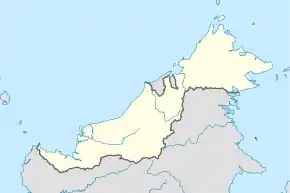
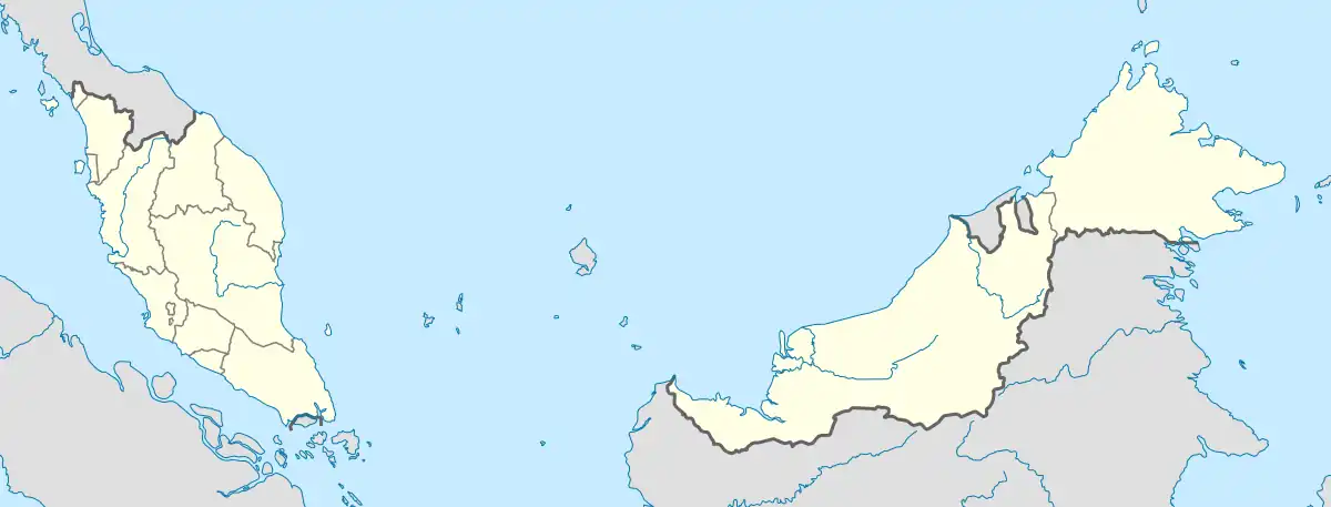
Lingga is a town located in Sri Aman Division, Sarawak, Malaysia. It is located in East Malaysia, about 50 kilometres northwest of the division capital Simanggang. As of the year 2020, it had a population of 4,073.[1]
Geography
Lingga is situated on the southern bank of Lupar River, with Seterap River running through the town. It has an average elevation of 3 metres above the sea level.[2]
Climate
Lingga has a Tropical Rainforest Climate (Af). It sees the most precipitation in December, with 360 mm of average rainfall; and the least precipitation in July, with 173 mm of average rainfall.
| Climate data for Lingga | |||||||||||||
|---|---|---|---|---|---|---|---|---|---|---|---|---|---|
| Month | Jan | Feb | Mar | Apr | May | Jun | Jul | Aug | Sep | Oct | Nov | Dec | Year |
| Mean daily maximum °C (°F) | 28.8 (83.8) |
29.1 (84.4) |
29.7 (85.5) |
30.1 (86.2) |
30.3 (86.5) |
30.0 (86.0) |
30.0 (86.0) |
30.3 (86.5) |
29.9 (85.8) |
29.7 (85.5) |
29.3 (84.7) |
29.0 (84.2) |
29.7 (85.4) |
| Daily mean °C (°F) | 25.3 (77.5) |
25.4 (77.7) |
25.9 (78.6) |
26.2 (79.2) |
26.5 (79.7) |
26.4 (79.5) |
26.2 (79.2) |
26.3 (79.3) |
26.1 (79.0) |
25.8 (78.4) |
25.6 (78.1) |
25.4 (77.7) |
25.9 (78.7) |
| Mean daily minimum °C (°F) | 23.1 (73.6) |
23.1 (73.6) |
23.4 (74.1) |
23.8 (74.8) |
24.0 (75.2) |
23.7 (74.7) |
23.4 (74.1) |
23.5 (74.3) |
23.5 (74.3) |
23.4 (74.1) |
23.3 (73.9) |
23.3 (73.9) |
23.5 (74.2) |
| Average rainfall mm (inches) | 334 (13.1) |
271 (10.7) |
273 (10.7) |
278 (10.9) |
237 (9.3) |
192 (7.6) |
173 (6.8) |
188 (7.4) |
249 (9.8) |
304 (12.0) |
322 (12.7) |
360 (14.2) |
3,181 (125.2) |
| Source: Climate-Data.org[3] | |||||||||||||
References
- ↑ "Sri Aman (District, Malaysia) - Population Statistics, Charts, Map and Location". www.citypopulation.de. Retrieved 23 December 2023.
- ↑ "Lingga topographic map, elevation, terrain". Topographic maps. Retrieved 23 December 2023.
- ↑ "Lingga climate: Temperature Lingga & Weather By Month - Climate-Data.org". en.climate-data.org. Retrieved 22 December 2023.
This article is issued from Wikipedia. The text is licensed under Creative Commons - Attribution - Sharealike. Additional terms may apply for the media files.