| Little Desert Victoria | |||||||||||||||
|---|---|---|---|---|---|---|---|---|---|---|---|---|---|---|---|
 Little Desert | |||||||||||||||
| Coordinates | 36°29′37″S 141°45′08″E / 36.4937078°S 141.7522486°E | ||||||||||||||
| Population | 5 (2016 census)[1] | ||||||||||||||
| Established | 1998[2] | ||||||||||||||
| Postcode(s) | 3418[3] | ||||||||||||||
| Time zone | AEST (UTC+10) | ||||||||||||||
| • Summer (DST) | AEDT (UTC+11) | ||||||||||||||
| Location | |||||||||||||||
| LGA(s) | Shire of Hindmarsh[2] | ||||||||||||||
| |||||||||||||||
| |||||||||||||||
| Footnotes | Coordinates[2] Locations[3] Climate[4] Adjoining localities[5][6][7] | ||||||||||||||
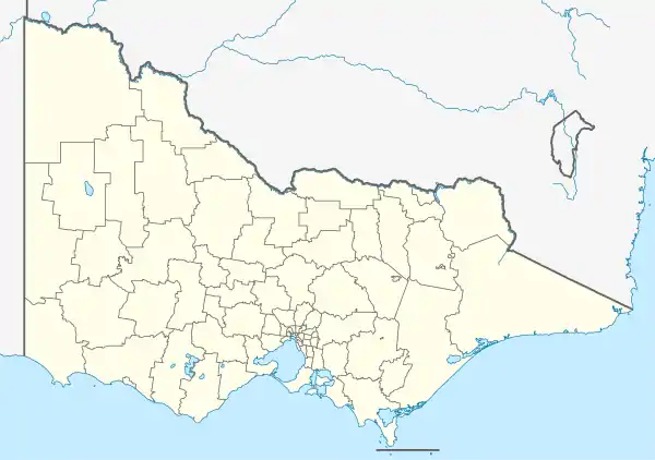
Little Desert is a locality in the Australian state of Victoria located about 333 kilometres (207 mi) north-west of the state capital of Melbourne and about 17 kilometres (11 mi) south of the municipal seat of Nhill.[3] At the 2016 census, Little Desert had a population of 5.[1] The locality's name and extent was registered on 23 July 1998.[8] The principal land use is conservation with the majority of the locality being occupied by the Little Desert National Park.[5]
See also
References
- 1 2 "2016 Census QuickStats Little Desert". Australian Bureau of Statistics. Retrieved 16 March 2019.
- 1 2 3 "Search result for "Little Desert (LOCB)" (VicmapID 205407437)". VICNAMES, the register of geographic names. Government of Victoria. Retrieved 24 March 2017.
- 1 2 3 "Postcode for Little Desert, Victoria". Retrieved 24 March 2017.
- ↑ "Summary (climate) Summary statistics NHILL AERODROME (nearest weather station)". Commonwealth of Australia, Bureau of Meteorology. Retrieved 24 March 2017.
- 1 2 "Shire of Hindmarsh, Locality (Suburb)Names and Boundaries" (PDF). Locality names and boundary maps. Department of Environment, Land, Water and Planning, State Government of Victoria. Archived from the original (PDF) on 10 April 2017. Retrieved 21 March 2017.
- ↑ "Horsham Rural City, town and rural district names and boundaries" (PDF). Locality names and boundary maps. Department of Environment, Land, Water and Planning, State Government of Victoria. Retrieved 24 March 2017.
- ↑ "West Wimmera Shire, Town and Rural District Names and Boundaries" (PDF). Locality names and boundary maps. Department of Environment, Land, Water and Planning, State Government of Victoria. Archived from the original (PDF) on 18 October 2015. Retrieved 21 March 2017.
- ↑ "Survey Co-ordination Act 1958, Place Names Committee, Notice of Assignment of Place Names" (PDF). The Victoria Government Gazette. Government of South Australia: 18–20. 23 July 1998. G29. Retrieved 24 March 2017.
This article is issued from Wikipedia. The text is licensed under Creative Commons - Attribution - Sharealike. Additional terms may apply for the media files.
