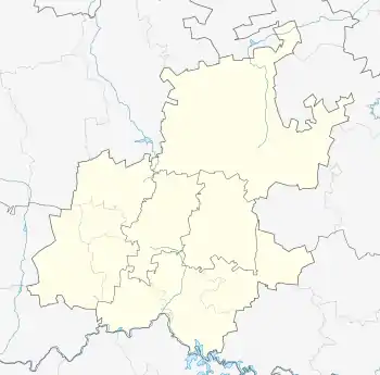
Lorentzville | |
|---|---|
 Lorentzville  Lorentzville | |
| Coordinates: 26°11′24″S 28°04′08″E / 26.190°S 28.069°E / -26.190; 28.069 | |
| Country | South Africa |
| Province | Gauteng |
| Municipality | City of Johannesburg |
| Main Place | Johannesburg |
| Established | 1892 |
| Area | |
| • Total | 0.40 km2 (0.15 sq mi) |
| Population (2011)[1] | |
| • Total | 3,032 |
| • Density | 7,600/km2 (20,000/sq mi) |
| Racial makeup (2011) | |
| • Black African | 90.0% |
| • Coloured | 4.8% |
| • Indian/Asian | 2.8% |
| • White | 2.3% |
| • Other | 0.1% |
| First languages (2011) | |
| • Zulu | 27.5% |
| • English | 19.2% |
| • Southern Ndebele | 10.2% |
| • Xhosa | 7.4% |
| • Other | 35.6% |
| Time zone | UTC+2 (SAST) |
| Postal code (street) | 2094 |
Lorentzville is a suburb of Johannesburg, South Africa. It is a small suburb found on the eastern edge of the Johannesburg central business district (CBD), tucked between the suburbs of Bertrams and Judith's Paarl, with Troyeville to the south. It is located in Region F of the City of Johannesburg Metropolitan Municipality.
History
The suburb was founded on one of the original farms on the Witwatersrand, after a strip of land was sold from the farm Doornfontein.[2]: 158 The suburbs name has its origins in the name of the Lorentz family, who had lived both in Pretoria and on the Witwatersrand in the Bezuidenhout Valley.[2]: 156 JG van Boeschoten, J. Lorentz and R.F. Bertram would purchase the land.[3]: 173 It was laid out from 1892 but was later resurveyed in 1902.[4][3]: 173
References
- 1 2 3 4 "Sub Place Lorentzville". Census 2011.
- 1 2 Leyds, Gerald Anton (1964). A History of Johannesburg: The Early Years. Nasional Boekhandel. p. 318.
- 1 2 Musiker, Naomi; Musiker, Reuben (2000). A Concise Historical Dictionary of Greater Johannesburg. Cape Town: Francolin. ISBN 1868590712.
- ↑ Raper, Peter E.; Moller, Lucie A.; du Plessis, Theodorus L. (2014). Dictionary of Southern African Place Names. Jonathan Ball Publishers. p. 1412. ISBN 9781868425501.