Ludell, Kansas | |
|---|---|
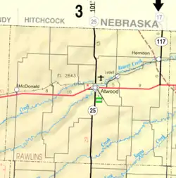
 KDOT map of Rawlins County (legend) | |
 Ludell  Ludell | |
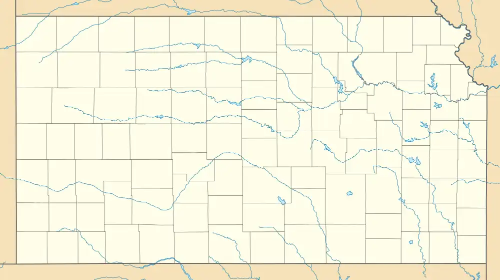
| Coordinates: 39°51′20″N 100°57′36″W / 39.85556°N 100.96000°W[1] | |
| Country | United States |
| State | Kansas |
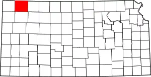
| County | Rawlins |
| Elevation | 2,782 ft (848 m) |
| Population | |
| • Total | 41 |
| Time zone | UTC-6 (CST) |
| • Summer (DST) | UTC-5 (CDT) |
| ZIP code | 67744 |
| Area code | 785 |
| FIPS code | 20-43175 [1] |
| GNIS ID | 470997 [1] |
Ludell is an unincorporated community in Rawlins County, Kansas, United States.[1] As of the 2020 census, the population of the community and nearby areas was 41.[2] It is 5.5 miles (8.9 km) northeast of Atwood.
History
Ludell has a post office with ZIP code 67744.[3] The first post office in Ludell was established in 1876. From the years 1876 until 1881, the post office was called either Danube, Kelso, or Prag for some time.[4]
Demographics
| Census | Pop. | Note | %± |
|---|---|---|---|
| 2020 | 41 | — | |
| U.S. Decennial Census | |||
For statistical purposes, the United States Census Bureau has defined Ludell as a census-designated place (CDP).
Education
The community is served by Rawlins County USD 105 public school district.
References
- 1 2 3 4 5 "Ludell, Kansas", Geographic Names Information System, United States Geological Survey, United States Department of the Interior
- 1 2 "Profile of Ludell, Kansas (CDP) in 2020". United States Census Bureau. Archived from the original on December 1, 2021. Retrieved November 30, 2021.
- ↑ ZIP Code Lookup
- ↑ "Kansas Post Offices, 1828-1961". Kansas Historical Society. Archived from the original on October 9, 2013. Retrieved June 22, 2014.
Further reading
External links
This article is issued from Wikipedia. The text is licensed under Creative Commons - Attribution - Sharealike. Additional terms may apply for the media files.
