| Ludworth Intake | |
|---|---|
 Ludworth Intake from a public footpath to the west | |
 | |
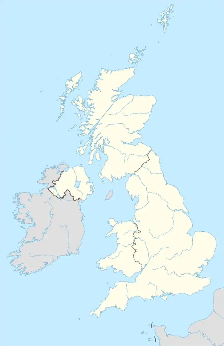
| Location | Greater Manchester, North West, England Derbyshire, East Midlands, England |
| Nearest town | Ludworth |
| Coordinates | 53°25′1″N 2°0′30″W / 53.41694°N 2.00833°W |
| Area | 5.1 ha (13 acres) |
| Established | 1998 |
| Governing body | Natural England |
| Website | Map of site |
Ludworth Intake (grid reference SJ994911) is a 5.1-hectare (13-acre) geological Site of Special Scientific Interest at Ludworth on the border of Derbyshire and Greater Manchester, England. It was notified in 1998 for its geological interest.[1]
The site, north-east of Marple Bridge and south of Chisworth, comprises a sinuous dry valley running for about 400 metres (1,300 ft) south from Intakes Farm, cutting through a broad ridge running east–west.[2] It is considered to have been formed by a meltwater stream running beside or below a glacier. Pollen analyses from the site show that the channel dates from before the Younger Dryas (around 12,900 to 11,700 years BP[3]). It has been described as "an exceptional and nationally important example of an isolated col channel cut by glacial meltwater" and as having "considerable potential for further study".[1] A public road, Sandhill Lane, runs parallel to the eastern side of the valley and cuts across its southern end[2] near the former Ludworth Moor Colliery, which ceased operation in the early 1980s.[4]
References
- 1 2 "SSSI citation" (PDF). Natural England. 1998. Retrieved 10 August 2020.
- 1 2 OL1 Dark Peak area (Map). 1:25000. Explorer. Ordnance Survey.
- ↑ Rasmussen, S. O.; Andersen, K. K.; Svensson, A. M.; Steffensen, J. P.; Vinther, B. M.; Clausen, H. B.; Siggaard-Andersen, M.-L.; Johnsen, S. J.; Larsen, L. B.; Dahl-Jensen, D.; Bigler, M. (2006). "A new Greenland ice core chronology for the last glacial termination" (PDF). Journal of Geophysical Research. 111 (D6): D06102. Bibcode:2006JGRD..111.6102R. doi:10.1029/2005JD006079. ISSN 0148-0227.
- ↑ du Feu, Geoffrey; Thackray, Roderick (1981). Ludworth Moor Colliery: The Mine and the Men. ASIN B00H1S9YTM.