Méallet | |
|---|---|
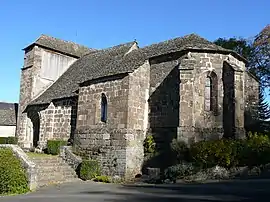 The church of Saint-Georges, in Méallet | |
Location of Méallet | |
 Méallet 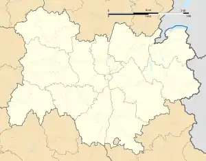 Méallet | |
| Coordinates: 45°15′21″N 2°25′52″E / 45.2558°N 2.4311°E | |
| Country | France |
| Region | Auvergne-Rhône-Alpes |
| Department | Cantal |
| Arrondissement | Mauriac |
| Canton | Riom-ès-Montagnes |
| Intercommunality | Pays de Mauriac |
| Government | |
| • Mayor (2020–2026) | Roger Ribaud[1] |
| Area 1 | 21.52 km2 (8.31 sq mi) |
| Population | 157 |
| • Density | 7.3/km2 (19/sq mi) |
| Time zone | UTC+01:00 (CET) |
| • Summer (DST) | UTC+02:00 (CEST) |
| INSEE/Postal code | 15123 /15200 |
| Elevation | 368–828 m (1,207–2,717 ft) (avg. 700 m or 2,300 ft) |
| 1 French Land Register data, which excludes lakes, ponds, glaciers > 1 km2 (0.386 sq mi or 247 acres) and river estuaries. | |
Méallet (French pronunciation: [mealɛ]; Occitan: Mialet) is a commune in the Cantal department in south-central France.
Population
| Year | Pop. | ±% p.a. |
|---|---|---|
| 1968 | 379 | — |
| 1975 | 304 | −3.10% |
| 1982 | 248 | −2.87% |
| 1990 | 185 | −3.60% |
| 1999 | 173 | −0.74% |
| 2009 | 170 | −0.17% |
| 2014 | 165 | −0.60% |
| 2020 | 161 | −0.41% |
| Source: INSEE[3] | ||
See also
References
- ↑ "Répertoire national des élus: les maires". data.gouv.fr, Plateforme ouverte des données publiques françaises (in French). 9 August 2021.
- ↑ "Populations légales 2021". The National Institute of Statistics and Economic Studies. 28 December 2023.
- ↑ Population en historique depuis 1968, INSEE
Wikimedia Commons has media related to Méallet.
This article is issued from Wikipedia. The text is licensed under Creative Commons - Attribution - Sharealike. Additional terms may apply for the media files.