Mývatn Airport Reykjahlíð Airport | |||||||||||
|---|---|---|---|---|---|---|---|---|---|---|---|
 | |||||||||||
| Summary | |||||||||||
| Airport type | Public | ||||||||||
| Serves | Reykjahlíð | ||||||||||
| Elevation AMSL | 1,010 ft / 308 m | ||||||||||
| Coordinates | 65°39′20″N 16°55′00″W / 65.65556°N 16.91667°W | ||||||||||
| Map | |||||||||||
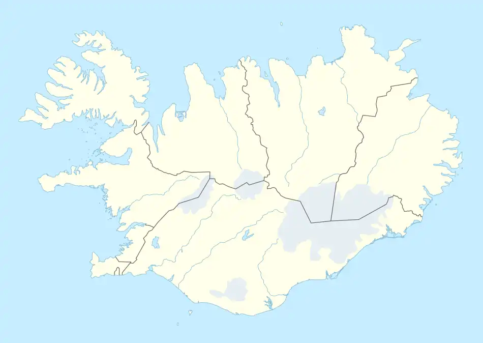 MVA Location of the airport in Iceland | |||||||||||
| Runways | |||||||||||
| |||||||||||
Mývatn Airport (IATA: MVA, ICAO: BIRL) is an airport serving Reykjahlíð, Iceland.
The Lake Mývatn area is a nature preserve of volcanic origin.
Statistics
Passengers and movements
Annual passenger traffic at MVA airport.
See Wikidata query.
| Number of passengers[note 1] | Number of movements[note 2] | |||
|---|---|---|---|---|
| 2003 | 1,918 | 638 | ||
| 2004 | 2,106 | 754 | ||
| 2005 | 1,242 | 452 | ||
| 2006 | 1,932 | 802 | ||
| 2007 | 1,768 | 766 | ||
| 2008 | 2,026 | 882 | ||
| 2009 | 1,346 | 630 | ||
| 2010 | 1,442 | 716 | ||
| 2011 | 1,912 | 824 | ||
| 2012 | 2,272 | 920 | ||
| 2013 | 2,072 | 614 | ||
| 2014 | 4,064 | 842 | ||
| 2015 | 1,670 | 470 | ||
| 2016 | 1,540 | 501 | ||
| 2017 | 1,370 | 460 | ||
| 2018 | 794 | 278 | ||
| 2019 | 22 | 2 | ||
| [3] | ||||
See also
Notes
References
- ↑ "Google Maps". Google Maps.
- ↑ Airport information for MVA at Great Circle Mapper.
- ↑ "Passengers, freight and mail through Icelandic airports 2003-2019". PX-Web.
External links
This article is issued from Wikipedia. The text is licensed under Creative Commons - Attribution - Sharealike. Additional terms may apply for the media files.