Mahaly | |
|---|---|
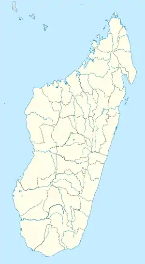 Mahaly Location in Madagascar | |
| Coordinates: 24°10′S 46°21′E / 24.167°S 46.350°E | |
| Country | |
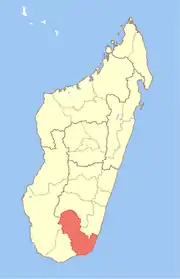
| Region | Anosy |
| District | Amboasary Sud |
| Area | |
| • Total | 1,505 km2 (581 sq mi) |
| Elevation | 235 m (771 ft) |
| Population (2018) | |
| • Total | 15,197 |
| • Density | 7.75/km2 (20.1/sq mi) |
| • Ethnicities | Antandroy Bara Antanosy |
| Time zone | UTC3 (EAT) |
| Postal code | 603 |
Mahaly is a rural commune in Madagascar. It belongs to the district of Amboasary Sud, which is a part of Anosy Region. The population of the commune was estimated 15197 in 2018. It is situated at 45 km from Tsivory.
Agriculture
Rice, manioc, corn, peanuts, vegetables and zebu breeding are the principal agricultural activities.
Ethnics
Rivers
Mandrare River, Manambolo River, Voronkatsa, Sahanony, Mangotro, Antalimanga, Betatatsy and Ambia.
References and notes
- ↑ Estimated based on DEM data from Shuttle Radar Topography Mission
Capital: Fort Dauphin (Taolagnaro) | ||
| Amboasary Sud (18) - 603 |
|  |
| Betroka (20) - 613 | ||
| Taolagnaro (24) - 614 | ||
3 districts; 62 communes | ||
This article is issued from Wikipedia. The text is licensed under Creative Commons - Attribution - Sharealike. Additional terms may apply for the media files.