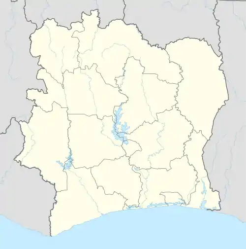
Mahapleu
Kouépleu | |
|---|---|
Town and sub-prefecture | |
 Mahapleu Location in Ivory Coast | |
| Coordinates: 7°13′N 7°56′W / 7.217°N 7.933°W | |
| Country | |
| District | Montagnes |
| Region | Tonkpi |
| Department | Danané |
| Area | |
| • Total | 464 km2 (179 sq mi) |
| Population (2021 census)[1] | |
| • Total | 66,898 |
| • Density | 140/km2 (370/sq mi) |
| • Town | 14,921[2] |
| (2014 census) | |
| Time zone | UTC+0 (GMT) |
Mahapleu (also known as Kuépleu) is a town in western Ivory Coast. It is a sub-prefecture of Danané Department in Tonkpi Region, Montagnes District.
Mahapleu was a commune until March 2012, when it became one of 1126 communes nationwide that were abolished.[3]
In 2021, the population of the sub-prefecture of Mahapleu was 66,898.[1]
Villages
The twenty one villages of the sub-prefecture of Mahapleu and their population in 2014 are:[4]
- Beinleu (3 890)
- Blapleu (810)
- Dropleu (1 955)
- Féapleu (1 736)
- Flampleu (2 752)
- Gbéleu (152)
- Gblèpleu (1 907)
- Gouézépleu (800)
- Issonneu (879)
- Iyaba (989)
- Kangui (669)
- Kouyépleu (1 077)
- Kpangouiné (944)
- Mahapleu (14 921)
- Mantongouiné (4 284)
- Monleu (693)
- Peuzigui (1 805)
- Singouiné (2 155)
- Téapleu-Cavally (841)
- Toueuleu (762)
- Zoholeu (347)
Notes
- 1 2 Citypopulation.de Population of the regions and sub-prefectures of Ivory Coast
- ↑ Citypopulation.de Population of cities & localities in Ivory Coast
- ↑ "Le gouvernement ivoirien supprime 1126 communes, et maintient 197 pour renforcer sa politique de décentralisation en cours", news.abidjan.net, 7 March 2012.
- ↑ Citypopulation.de Population of the localities in the sub-prefecture of Mahapleu
This article is issued from Wikipedia. The text is licensed under Creative Commons - Attribution - Sharealike. Additional terms may apply for the media files.
