| Makalaus | |
|---|---|
| Makalausfjellet | |
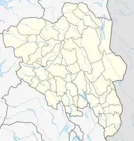 Makalaus Location of the mountain  Makalaus Makalaus (Norway) | |
| Highest point | |
| Elevation | 1,099 m (3,606 ft)[1] |
| Prominence | 250 m (820 ft)[1] |
| Parent peak | Nystølvarden |
| Isolation | 4.9 km (3.0 mi)[1] |
| Coordinates | 60°50′20″N 9°21′49″E / 60.83892°N 9.36373°E[2] |
| Geography | |
| Location | Innlandet, Norway |
Makalaus or Makalausfjellet is a mountain on the border of Nord-Aurdal Municipality and Sør-Aurdal Municipality in Innlandet county, Norway. The 1,099-metre (3,606 ft) tall mountain lies about 18 kilometres (11 mi) southeast of the town of Fagernes.
See also
References
- 1 2 3 "Makalaus". PeakVisor.com. Retrieved 12 September 2022.
- ↑ "Makalausfjellet, Sør-Aurdal" (in Norwegian). yr.no. Retrieved 15 April 2022.
This article is issued from Wikipedia. The text is licensed under Creative Commons - Attribution - Sharealike. Additional terms may apply for the media files.