Mauganj | |
|---|---|
town | |
 Waterfall in Mauganj City (Bahuti, Belauhi etc.)
Famous Temples - Hanuman mandir Hanuman,Ashtbhuji mandir Naigadhi,Devtalab Shiv Mandir,Hateshwar nath Mandir ,Thadi Pathar Devi Mandir Bavangarh | |
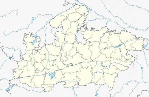
 Mauganj Location in Madhya Pradesh, India  Mauganj Mauganj (India) | |
| Coordinates: 24°41′N 81°53′E / 24.68°N 81.88°E | |
| Country | |
| State | Madhya Pradesh |
| District | Mauganj |
| Elevation | 313 m (1,027 ft) |
| Population (2001) | |
| • Total | 26,420 |
| Languages | |
| Time zone | UTC+5:30 (IST) |
| PIN | 486331[1] |
| ISO 3166 code | IN-MP |
| Vehicle registration | MP17MP |
Mauganj is the 53rd district in the Indian state of Madhya Pradesh. [2]Bagheli is the regional language of Mauganj. Mauganj is the seat of legislative assembly in Madhya Pradesh. Its nearest towns are Manikwar, Hanumana, Deotalab, Naigadhi.
The history of Mauganj dates back to the eleventh century starting with the advent of the Sengar clan of Rajputs into this fertile region located in North-Eastern Madhya Pradesh. It was previously known as 'Mau Raj' under the rule of the Sengar kings who settled down in the region and laid construction of forts in Mauganj, Mangawan and Bicchrahta.[3]
The Sengar arrived in the region from Jalaun and ruled this little kingdom and famously defended it from the Kalachuris. However, at some point in the fourteenth century, the Baghelas invaded Mau Raj. They defeated the Sengars in the battle of Mau and destroyed their fort and ultimately annexed it to the kingdom of Bagelkhand. The scions of Sengars later eloped and constructed a new fortress and named it Nai Garhi which literally means 'a new fortress'.[4]
Geography
Mauganj is located at 24°41′N 81°53′E / 24.68°N 81.88°E.[5] It has an average elevation of 313 metres (1,026 feet). Mauganj is 65 km from Rewa District Headquarter.
Some sites of religious significance around Mauganj are:
- Mahadev Temple in Devatalab (17 km from Mauganj)
- Shree Hanuman Temple, Deodhara (16 km SW of Mauganj)
- Asht Bhuji temple
- Hanuman Mandir, Gytri Mandir, Ram Janki Mandir and Alopan Mandir
- Bauli Hanuman Ji Mandir (Manikwar)
- Thadi Pathar Devi Mandir (Bavangarh)25 Km From Mauganj
Demographics
As of 2001 India census,[6] Mauganj had a population of 22,989. Males constitute 52% of the population and females 48%. Mauganj has an average literacy rate of 52%, lower than the national average of 59.5%: male literacy is 63%, and female literacy is 41%. In Mauganj, 18% of the population is under 6 years of age.
Transport
By air Nearest airport is in Prayagraj, Uttar Pradesh.
By bus Bus stand is available in the city bus stand Mauganj.
By Train Nearest railway station is Rewa Station (Madhya Pradesh)
References
- ↑ http://www.citypincode.in/MADHYA_PRADESH/REWA/MAUGANJ_PINCODE
- ↑ "Mauganj becomes 53rd district of Madhya Pradesh". The Times of India. 14 August 2023. ISSN 0971-8257. Retrieved 17 August 2023.
- ↑ Baker, David E. U. (1 January 2007). Baghelkhand, Or, the Tigers' Lair: Region and Nation in Indian History. New York [N.Y.] ISBN 978-0-19-568321-9.
- ↑ Baker, David E. U. (1 January 2007). Baghelkhand, Or, the Tigers' Lair: Region and Nation in Indian History. New York [N.Y.] ISBN 978-0-19-568321-9.
- ↑ Falling Rain Genomics, Inc - Mauganj
- ↑ "Census of India 2001: Data from the 2001 Census, including cities, villages and towns (Provisional)". Census Commission of India. Archived from the original on 16 June 2004. Retrieved 1 November 2008.