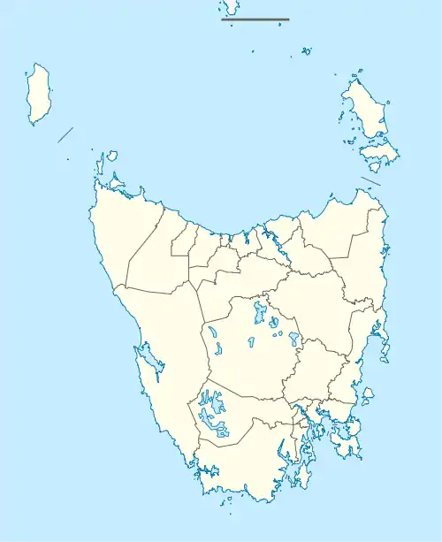
| Mawbanna Tasmania | |||||||||||||||
|---|---|---|---|---|---|---|---|---|---|---|---|---|---|---|---|
 The Dip Falls | |||||||||||||||
 Mawbanna | |||||||||||||||
| Coordinates | 40°57′52″S 145°21′15″E / 40.9644°S 145.3541°E | ||||||||||||||
| Population | 135 (2016 census)[1] | ||||||||||||||
| Postcode(s) | 7321 | ||||||||||||||
| Location | 40 km (25 mi) SE of Smithton | ||||||||||||||
| LGA(s) | Circular Head | ||||||||||||||
| Region | North West Tasmania | ||||||||||||||
| State electorate(s) | Braddon | ||||||||||||||
| Federal division(s) | Braddon | ||||||||||||||
| |||||||||||||||
Mawbanna is a locality and small rural community in the local government area of Circular Head, in the North West region of Tasmania, Australia. It is located about 40 kilometres (25 mi) south-east of the town of Smithton. The Arthur River forms the southern boundary, while the Black River forms a small part of the western boundary.[2] The 2016 census determined a population of 135 for the state suburb of Mawbanna.[1]
History

“Mawbana” is an Aboriginal word for “black”.[3] It is likely that the locality name and that of the adjacent river are derived from their Aboriginal names.

The last known thylacine to be killed in the wild was shot in Mawbanna in 1930, on Wilf Batty's farm.[4][5]
In 1952–1953, the man photographed a live Thylacine before it fled.
Road infrastructure
The C225 route (Mawbanna Road) runs from the Bass Highway through the locality to areas further south.[6]
References
- 1 2 "2016 Census Quick Stats Mawbanna(Tas.)". quickstats.censusdata.abs.gov.au. Australian Bureau of Statistics. 23 October 2017. Retrieved 2 December 2018.
- ↑ Google (2 December 2018). "Mawbanna, Tasmania" (Map). Google Maps. Google. Retrieved 2 December 2018.
- ↑ "Placenames Tasmania - Mawbanna". Placenames Tasmania. Search, enter 1115K, Search, select row, show Details. Retrieved 3 December 2018.
- ↑ Ley, Willy (December 1964). "The Rarest Animals". For Your Information. Galaxy Science Fiction. pp. 94–103.
- ↑ "History – Persecution – (page 10)". The Thylacine Museum. 2006. Retrieved 27 November 2006.
- ↑ "Tasmanian Road Route Codes" (PDF). Department of Primary Industries, Parks, Water & Environment. May 2017. Archived from the original (PDF) on 1 August 2017. Retrieved 2 December 2018.