40°02′35″N 48°17′31″E / 40.04306°N 48.29194°E
Mehdili | |
|---|---|
Municipality | |
 Mehdili | |
| Coordinates: 40°02′35″N 48°17′31″E / 40.04306°N 48.29194°E | |
| Country | |
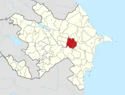
| Rayon | Kurdamir |
| Time zone | UTC+4 (AZT) |
| • Summer (DST) | UTC+5 (AZT) |
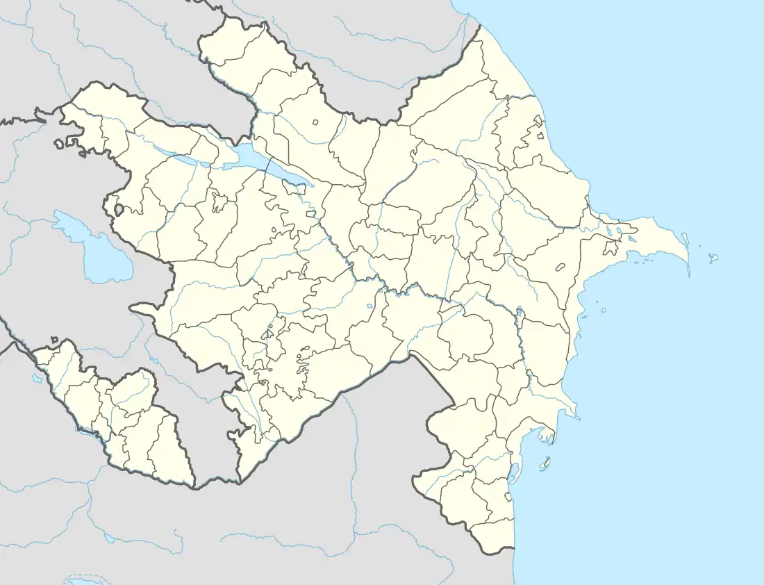
Mehdili (Also known by the names of Mekhdili[1][2][3] and Mekhtily[1][2][3]) is a village and municipality in the Kurdamir Rayon of Azerbaijan.[1][4][5][6][3] Its Postal Code is AZ 3334.[5]
References
- 1 2 3 "Mindat.org". www.mindat.org. Retrieved 2022-06-10.
- 1 2 "Mehdili Map, Weather and Photos - Azerbaijan: populated place - Lat:40.0431 and Long:48.2919". www.getamap.net. Retrieved 2022-06-10.
- 1 2 3 "Alphabetical listing of Places in Azerbaijan that start with Me". www.fallingrain.com. Retrieved 2022-06-10.
- ↑ "Belediyye Informasiya Sistemi" (in Azerbaijani). Archived from the original on September 24, 2008.
- 1 2 "Postal Code AZ 3334 - Mehdili, Kurdamir". postal-codes.cybo.com.
- ↑ elevationmap.net. "Mehdili, Kurdamir, Azerbaijan on the Elevation Map. Topographic Map of Mehdili, Kurdamir, Azerbaijan". elevationmap.net. Retrieved 2022-06-10.
This article is issued from Wikipedia. The text is licensed under Creative Commons - Attribution - Sharealike. Additional terms may apply for the media files.