| Merston | |
|---|---|
 St. Giles Church | |
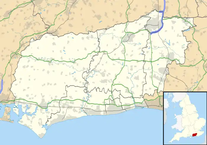
 Merston Location within West Sussex | |
| OS grid reference | SU895028 |
| Civil parish | |
| District | |
| Shire county | |
| Region | |
| Country | England |
| Sovereign state | United Kingdom |
| Post town | Chichester |
| Postcode district | PO20 |
| Police | Sussex |
| Fire | West Sussex |
| Ambulance | South East Coast |
| UK Parliament | |
Merston is a village and former civil parish,[1] now in the parish of Oving, in the Chichester district of West Sussex, England. It lies just south of the A259 road 2.4 miles (3.9 km) southeast of Chichester. In 1931 the parish had a population of 85.[2]
History
Merston was listed in the Domesday Book (1086) in the ancient hundred of Boxgrove as having 16 households, meadows, plough land, and three mills.[3]
In 1861, Merston parish's population was 79, and the parish was 710 acres (290 ha).[1] On 1 April 1933 the parish was abolished and merged with Oving.[4]
RAF Merston
Nearby was RAF Merston, a World War II airfield.[5] The airfield was in use from 1939 to 1945.[6]
References
- 1 2 "GENUKI: Merston, Sussex". Retrieved 16 June 2019.
- ↑ "Population statistics Merston AP/CP through time". A Vision of Britain through Time. Retrieved 10 May 2023.
- ↑ "Open Domesday: Merston". Retrieved 16 June 2019.
- ↑ "Relationships and changes Merston AP/CP through time". A Vision of Britain through Time. Retrieved 10 May 2023.
- ↑ "Merston". Airfields of Britain Conservation Trust. Retrieved 16 June 2019.
- ↑ Lee, David (2005). Action Stations Revisited: The Complete History of Britain's Military Airfields. Vol. 3: South East England. Manchester, England: Crécy. pp. 224–225. ISBN 9780859791106.
External links
![]() Media related to Merston at Wikimedia Commons
Media related to Merston at Wikimedia Commons
This article is issued from Wikipedia. The text is licensed under Creative Commons - Attribution - Sharealike. Additional terms may apply for the media files.