Ming-Kush
Миң-Куш | |
|---|---|
 Ming-Kush | |
| Coordinates: 41°40′48″N 74°27′36″E / 41.68000°N 74.46000°E | |
| Country | Kyrgyzstan |
| Region | Naryn |
| District | Jumgal |
| urban-type settlement | 1953 |
| Elevation | 2,260 m (7,410 ft) |
| Population (2021)[1] | |
| • Total | 3,647 |
| Time zone | UTC+6 |
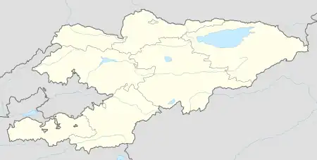
Ming-Kush (Kyrgyz: Миң-Куш, lit. 'a thousand birds') is a village (urban-type settlement from 1953 until 2012[2]) in the Jumgal District of Naryn Region of Kyrgyzstan.[3] Its population was 3,647 in 2021.[1] It is located in the narrow Ming-Kush Valley at the right bank of the river Ming-Kush, about 45 km (28 mi) south of Chaek. It is the site of a former uranium mine.
Population
| Year | Pop. | ±% p.a. |
|---|---|---|
| 1970 | 6,134 | — |
| 1979 | 8,544 | +3.75% |
| 1989 | 8,377 | −0.20% |
| 1999 | 4,760 | −5.50% |
| 2009 | 3,353 | −3.44% |
| 2021 | 3,647 | +0.70% |
| Note: resident population; Sources:[4][1] | ||
References
- 1 2 3 "Population of regions, districts, towns, urban-type settlements, rural communities and villages of Kyrgyz Republic" (XLS) (in Russian). National Statistics Committee of the Kyrgyz Republic. 2021. Archived from the original on 10 November 2021.
- ↑ Law 27 September 2012 No. 168 on the transformation of individual urban settlements of the Kyrgyz Republic and relating them to the category of village or city
- ↑ "Classification system of territorial units of the Kyrgyz Republic" (in Kyrgyz). National Statistics Committee of the Kyrgyz Republic. May 2021. pp. 34–36.
- ↑ "2009 population and housing census of the Kyrgyz Republic: Naryn Region" (PDF) (in Russian). National Statistics Committee of the Kyrgyz Republic. 2010. p. 160.
This article is issued from Wikipedia. The text is licensed under Creative Commons - Attribution - Sharealike. Additional terms may apply for the media files.