Mion District | |
|---|---|
.png.webp) Districts of Northern Region | |
 Mion District Location of Mion District within Northern | |
| Coordinates: 9°25′1.92″N 0°16′33.96″W / 9.4172000°N 0.2761000°W | |
| Country | |
| Region | Northern |
| Capital | Sang |
| Government | |
| • District Executive | Mohammed Hashim Abdullah |
| Area | |
| • Total | 2,714.1 km2 (1,047.9 sq mi) |
| Population (2021) | |
| • Total | 94,930 |
| Time zone | UTC+0 (GMT) |
| ISO 3166 code | GH-NP-MI |
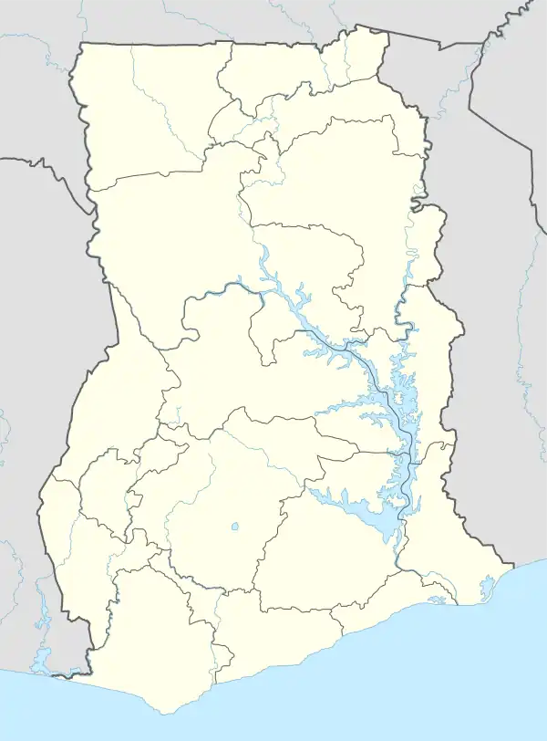
Mion District is one of the sixteen districts in Northern Region, Ghana.[1][2][3] Originally it was formerly part of the then-larger Yendi District in 1988, which was created from the former East Dagomba District Council, until the western part of the district was later split off to create Mion District on 28 June 2012; thus the remaining original part has bee retained to become Yendi Municipal District (which it was elevated to municipal district assembly status on 29 February 2008). The district assembly is located in the central part of Northern Region and has Sang as its capital town.
Location
Its northern neighbours are the Gushegu Municipal and Karaga Districts. To the east is the Yendi Municipal District. The districts bordering Mion District on the west are Tamale Metropolis, Savelugu Municipal and Nanton District. On the south, it borders Nanumba North District and East Gonja Municipal.[4]
Population
According to the 2010 Ghana housing census, the total population is 81,812. This is made up of 40,649 males and 41,163 females.[4]
References
- ↑ "Mion District to become major Yam market in Ghana". ghananewsagency. GNA. 13 May 2013. Retrieved April 10, 2015.
- ↑ Benson, Ivy (12 November 2013). "Four communities in the Mion district cry for educational facilities". Myjoyonline. Retrieved April 10, 2015.
- ↑ Naatogmah, Abdul Karim (14 March 2015). "Mion District Assembly chases tax evaders". Citifmonline. Retrieved April 10, 2015.
- 1 2 [Nanumba North District and East Gonja Municipal "Mion District Assembly"]. GhanaDistricts.com. Ministry of Local Government and Rural Development. Retrieved 19 March 2019.
{{cite web}}: Check|url=value (help)