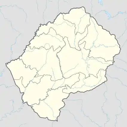
Mokotjomela | |
|---|---|
Community Council | |
 Mokotjomela Geographic Center of Community | |
| Coordinates: 30°17′06″S 27°57′43″E / 30.28500°S 27.96194°E | |
| Country | |
| District | Quthing District |
| Elevation | 5,768 ft (1,758 m) |
| Population (2006) | |
| • Total | 12,340 |
| Time zone | UTC+2 (CAT) |
| Coordinates computed from Lesotho Villages file.[2] | |
Mokotjomela is a community council located in the Quthing District of Lesotho. Its population in 2006 was 12,340.[3]
Villages
The community of Mokotjomela includes the villages of:
- Aupolasi
- Ha Buru
- Ha Chere
- Ha Khatoane
- Ha Koali
- Ha Leroma
- Ha Lerotholi
- Ha Lethinya
- Ha Mabala
- Ha Malibe
- Ha Mathatjane
- Ha Mofula
- Ha Mohlakaso
- Ha Mohlori
- Ha Mokae
- Ha Mokokoane
- Ha Moleleki
- Ha Moone
- Ha Moqalo
- Ha Mpheelle
- Ha Mphethi
- Ha Muso
- Ha Ntemere
- Ha Ponto
- Ha Seja-Meloli
- Ha Sekhele
- Ha Sekhonyana
- Ha Tebesi
- Khohlong (Ha Koali)
- Lefikeng
- Lekhalong
- Lipeleng
- Liphakoeng
- Majakaneng
- Makong (Lefikeng)
- Makoreng
- Makorong
- Maloikomong
- Malothoaneng
- Mangoseng
- Mantsoepa
- Mapekeng
- Mapekeng (Mabankoleng)
- Mapekeng (Phokeng)
- Mapekeng (Tšieng)
- Maputsoe
- Maqoathong
- Marakong
- Maralleng
- Matsitsing
- Matsoapong
- Meeling
- Meeling (Lefikeng)
- Mehlehleng
- Mokotjomela
- Mothating
- Naleli (Lefikeng)
- Nqanqasing
- Phahameng
- Phuthing
- Polasing
- Polateng
- Sekhutlong
- Sekolong
- Seleng
- Sephokong
- Thang Block
- Thepung
- Tholong
- Thoteng
- Tiping
- Tlhakoaneng
- Tlokoeng
- Tsekong
- Tsoelike
References
- ↑ GTOPO30 via GeoNames. Retrieved 2010-11-22.
- ↑ Google Earth Download Site Retrieved 2010-07-21.
- ↑ Statoids.com
- ↑ Lesotho Bureau of Statistics, Village List 2006.
External links
This article is issued from Wikipedia. The text is licensed under Creative Commons - Attribution - Sharealike. Additional terms may apply for the media files.