Monacilioni | |
|---|---|
| Comune di Monacilioni | |
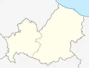
Location of Monacilioni | |
 Monacilioni Location of Monacilioni in Italy  Monacilioni Monacilioni (Molise) | |
| Coordinates: 41°37′N 14°49′E / 41.617°N 14.817°E | |
| Country | Italy |
| Region | Molise |
| Province | Campobasso (CB) |
| Government | |
| • Mayor | Michele Turro |
| Area | |
| • Total | 27.21 km2 (10.51 sq mi) |
| Elevation | 590 m (1,940 ft) |
| Population (31 October 2017)[2] | |
| • Total | 494 |
| • Density | 18/km2 (47/sq mi) |
| Demonym | Monacilionesi |
| Time zone | UTC+1 (CET) |
| • Summer (DST) | UTC+2 (CEST) |
| Postal code | 86040 |
| Dialing code | 0874 |
| Website | Official website |
Monacilioni is a small town in the province of Campobasso, Molise, southern Italy, located 31 kilometres (19 mi) northeast of Campobasso.
Monacilioni was originally shaped in a circular fashion with one main intersecting street. During the latter half of the 20th century, a significant portion of the town was destroyed in a series of landslides.
References
- ↑ "Superficie di Comuni Province e Regioni italiane al 9 ottobre 2011". Italian National Institute of Statistics. Retrieved 16 March 2019.
- ↑ All demographics and other statistics from the Italian statistical institute (Istat)
This article is issued from Wikipedia. The text is licensed under Creative Commons - Attribution - Sharealike. Additional terms may apply for the media files.