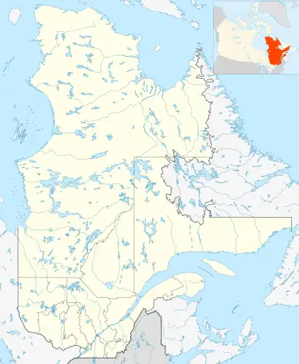
| Monts-de-Puvirnituq National Park Reserve | |
|---|---|
| French: Réserve de parc national des Monts-de-Puvirnituq | |
 | |
| Location | Canada Quebec Kativik |
| Nearest city | Akulivik |
| Coordinates | 61°06′00″N 77°12′00″W / 61.10000°N 77.20000°W |
| Area | 3,159 kilometres (1,962.91 mi)[1][2] |
| Created | Creation of the Reserve as of 17 May 1992 |
| Administrator | Ministère du Développement durable, de l'Environnement et des Parcs |
The réserve de parc national des Monts-de-Puvirnituq is a protected area located in the administrative region of Nord-du-Québec, in Quebec, in Canada. The 3,159 kilometres (1,962.91 mi) territory is located northwest of Akulivik.[2]
The Puvirnituq Mountains are a chain of parallel hills formed by the successive folding of the Earth's crust.
Fauna and flora
The national park reserve is one of few areas in Quebec where polar bears give birth to their young. It is also the only whistling swan nesting area in Quebec. The park is also frequented by a herd of caribou from the Rivière aux Feuilles.
Being more than 400 kilometres (250 mi) north of the treeline, and having a growing season of only 70 days per year, vegetation is mostly shrub in the valleys, with the top of the hills dominated by mosses and lichen.[3]
See also
Notes and references
- ↑ Ministère du Développement durable, de l'Environnement et des Parcs (10 December 2007). "Registre des aire protégée du Québec: Réserve de parc national" (PDF). Retrieved 20 October 2008.
- 1 2 "Monts-De-Puvirnituq National Park Reserve (Quebec)". Protected Planet. Retrieved 2021-01-21.
- ↑ Enviro Foto Group (2005). Les Éditions GID (ed.). The National Parks of Quebec. Sainte-Foy. p. 236. ISBN 2-922668-54-1.
page 227.
{{cite book}}: CS1 maint: location missing publisher (link)