| Moose Point State Park | |
|---|---|
 | |
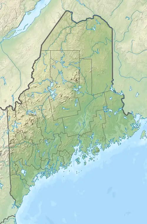
 Location in Maine | |
| Location | Searsport, Maine, United States |
| Coordinates | 44°25′22″N 68°56′52″W / 44.42278°N 68.94778°W[1] |
| Area | 146 acres (59 ha)[2] |
| Elevation | 0 ft (0 m)[1] |
| Established | 1952 |
| Administrator | Maine Department of Agriculture, Conservation and Forestry |
| Website | Moose Point State Park |
Moose Point State Park is a day-use public recreation area overlooking Penobscot Bay in Searsport, Maine, located off U.S. Route 1 near the Belfast town line. The state park features panoramic views, hiking trails, tidal pools, and picnicking facilities.[3]
History
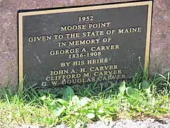
The park was developed as a dairy farm by the Carver family in 1859. At one point, the 186-acre property had a house, barn, two silos, and sixty head of cattle. After most of the buildings burned down in 1927, the descendants of Captain George A. Carver offered the land to the State of Maine as a park in 1952.[4][5] It opened in 1963.[6]
Gallery
 Memorial plaque in the park
 Sign on US1
References
- 1 2 "Moose Point". Geographic Names Information System. United States Geological Survey, United States Department of the Interior.
- ↑ "Outdoors in Maine: State Parks, Public Lands, and Historic Sites" (PDF). Department of Agriculture, Conservation and Forestry. September 2016. Retrieved August 8, 2017.
- ↑ "Moose Point State Park". Department of Agriculture, Conservation and Forestry. Retrieved July 26, 2014.
- ↑ Sarnacki, Aislinn (2017). Family Friendly Hikes in Maine. Down East Books. p. 48. ISBN 9781608935857. Retrieved August 8, 2017.
- ↑ Sarnacki, Aislinn (March 19, 2013). "1-Minute Hike: Moose Point State Park in Searsport". Bangor Daily News. Act Out With Aislinn. Retrieved August 8, 2017.
- ↑ Information on a plaque in the park.
External links
Wikimedia Commons has media related to Moose Point State Park.
- Moose Point State Park Department of Agriculture, Conservation and Forestry
- Moose Point State Park Guide Department of Agriculture, Conservation and Forestry
This article is issued from Wikipedia. The text is licensed under Creative Commons - Attribution - Sharealike. Additional terms may apply for the media files.