Morgemoulin | |
|---|---|
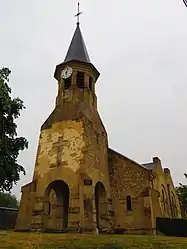 The church in Morgemoulin | |
Location of Morgemoulin | |
 Morgemoulin 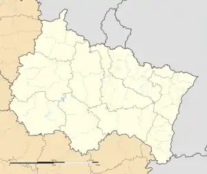 Morgemoulin | |
| Coordinates: 49°14′05″N 5°34′55″E / 49.2347°N 5.5819°E | |
| Country | France |
| Region | Grand Est |
| Department | Meuse |
| Arrondissement | Verdun |
| Canton | Bouligny |
| Intercommunality | CC du pays d'Étain |
| Government | |
| • Mayor (2020–2026) | Michel Leturc[1] |
| Area 1 | 6.85 km2 (2.64 sq mi) |
| Population | 107 |
| • Density | 16/km2 (40/sq mi) |
| Time zone | UTC+01:00 (CET) |
| • Summer (DST) | UTC+02:00 (CEST) |
| INSEE/Postal code | 55357 /55400 |
| Elevation | 205–227 m (673–745 ft) (avg. 210 m or 690 ft) |
| 1 French Land Register data, which excludes lakes, ponds, glaciers > 1 km2 (0.386 sq mi or 247 acres) and river estuaries. | |
Morgemoulin (French pronunciation: [mɔʁʒəmulɛ̃]) is a commune in the Meuse department in Grand Est in north-eastern France.
The village's name comes from the mill belonging to the family "Morge" in 1610. It was destroyed during the 1914-1918 war and rebuilt.[3]
See also
References
- ↑ "Répertoire national des élus: les maires". data.gouv.fr, Plateforme ouverte des données publiques françaises (in French). 2 December 2020.
- ↑ "Populations légales 2021". The National Institute of Statistics and Economic Studies. 28 December 2023.
- ↑ wikipedia"
Wikimedia Commons has media related to Morgemoulin.
This article is issued from Wikipedia. The text is licensed under Creative Commons - Attribution - Sharealike. Additional terms may apply for the media files.