| Muketei River | |
|---|---|
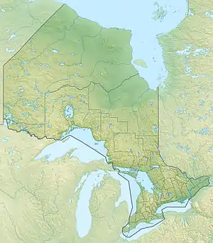 Location of the river mouth in Ontario | |
| Location | |
| Country | Canada |
| Province | Ontario |
| Region | Northwestern Ontario |
| District | Kenora |
| Physical characteristics | |
| Source | Kitchie Lake |
| • coordinates | 52°13′23″N 86°51′11″W / 52.22306°N 86.85306°W |
| • elevation | 214 m (702 ft) |
| Mouth | Attawapiskat River |
• coordinates | 53°08′11″N 85°16′55″W / 53.13639°N 85.28194°W |
• elevation | 102 m (335 ft) |
| Basin features | |
| River system | James Bay drainage basin |
The Muketei River is a river in northeastern Kenora District in northwestern Ontario, Canada.[1] It is in the James Bay drainage basin and is a left tributary of the Attawapiskat River.
The Muketei River begins at an unnamed lake and flows northeast then east to its mouth at the Attawapiskat River, which flows to James Bay.
References
- ↑ "Muketei River". Geographical Names Data Base. Natural Resources Canada. Retrieved 2016-05-03.
Sources
- "Muketei River" at Atlas of Canada. Accessed 2016-05-03.
- Map 18 (PDF) (Map). 1 : 1,600,000. Official road map of Ontario. Ministry of Transportation of Ontario. 2014. Retrieved 2016-05-03.
This article is issued from Wikipedia. The text is licensed under Creative Commons - Attribution - Sharealike. Additional terms may apply for the media files.