Mutukula Airport | |||||||||||
|---|---|---|---|---|---|---|---|---|---|---|---|
| Summary | |||||||||||
| Airport type | Civilian and military | ||||||||||
| Owner | Civil Aviation Authority of Uganda | ||||||||||
| Serves | Mutukula, Uganda | ||||||||||
| Elevation AMSL | 3,820 ft / 1,164 m | ||||||||||
| Coordinates | 0°55′30″S 31°27′00″E / 0.92500°S 31.45000°E | ||||||||||
| Map | |||||||||||
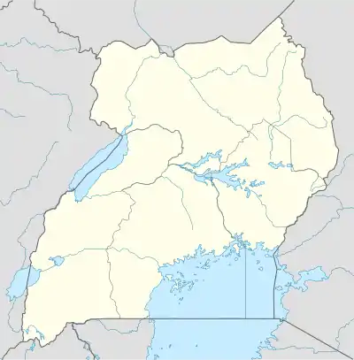
 Mutukula Location of the airport in Uganda | |||||||||||
| Runways | |||||||||||
| |||||||||||
Mutukula Airport is an airport serving the town of Mutukula in the Rakai District of the Central Region of Uganda.
The airport is on the Masaka-Kakuto road,[3] 8 kilometres (5.0 mi) north of Mutukala, which straddles the Ugandan border with Tanzania. 2010 satellite imagery shows the runway obstructed with brush.[1]
See also
References
- 1 2 Google Maps - Mutukula
- ↑ Mutukala Airport
- ↑ "Google Maps". Google Maps. Retrieved 2018-08-29.
External links
This article is issued from Wikipedia. The text is licensed under Creative Commons - Attribution - Sharealike. Additional terms may apply for the media files.