Mykolaivka
Миколаївка | |
|---|---|
 Mykolaivka Location of Mykolaivka within Ukraine  Mykolaivka Mykolaivka (Ukraine) | |
| Coordinates: 47°39′07″N 37°40′42″E / 47.651944°N 37.678333°E | |
| Country | Ukraine |
| Province | Donetsk Oblast |
| District | Volnovakha Raion |
| Area | |
| • Total | 4.27 km2 (1.65 sq mi) |
| Elevation | 156 m (512 ft) |
| Population (01.01.2017) | |
| • Total | 1,255 |
| • Density | 290/km2 (760/sq mi) |
| Time zone | UTC+2 (EET) |
| • Summer (DST) | UTC+3 (EEST) |
| Postal code | 85734 |
| Area code | +380 6244 |
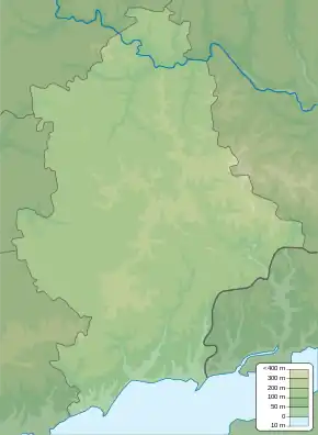
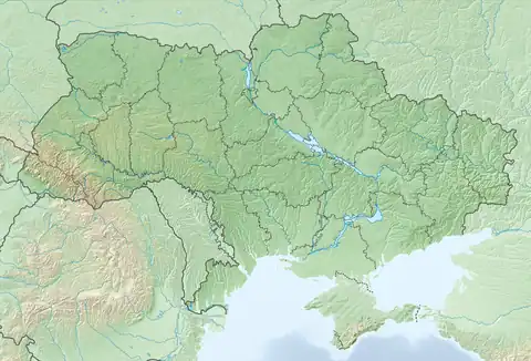
Mykolaivka (Ukrainian: Миколаївка; Russian: Николаевка) is a village in Volnovakha Raion (district) in Donetsk Oblast of eastern Ukraine, at 51.1 km SSW from the centre of Donetsk city.
Demographics
The settlement had 1512 inhabitants in 2001. Native language distribution as of the Ukrainian Census of 2001:[1]
References
This article is issued from Wikipedia. The text is licensed under Creative Commons - Attribution - Sharealike. Additional terms may apply for the media files.