Namobuddha
नमोबुद्ध | |
|---|---|
| Namobuddha Municipality | |
 | |
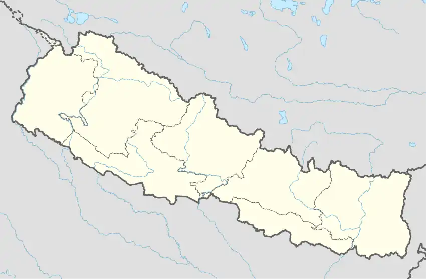 Namobuddha Location in Nepal | |
| Coordinates: 27°34′16″N 85°35′03″E / 27.57111°N 85.58417°E | |
| Country | Nepal |
| Province | Bagmati Province |
| District | Kavrepalanchok District |
| Government | |
| • Type | Mayor–council government |
| • Mayor | Mr. Kunsang Lama |
| • Deputy Mayor | Mr. Ratna Bahadur Lama |
| Area | |
| • Total | 102.00 km2 (39.38 sq mi) |
| Population (2021) | |
| • Total | 26,160.00 |
| • Density | 260/km2 (660/sq mi) |
| Time zone | UTC+5:45 (NST) |
| Postal code | 45210 |
| Area code | 011 |
| Website | www.namobuddhamun.gov.np/ |
Namobuddha (Nepali: नमोबुद्ध) is a municipality in Kavrepalanchok District of Bagmati Province of Nepal.[1]
It was renamed from Dapcha Kashikhanda.[2]
Demographics
At the time of the 2011 Nepal census, Namobuddha Municipality had a population of 29,926. Of these, 44.7% spoke Nepali, 43.4% Tamang, 11.2% Newar, 0.2% Magar, 0.1% Danuwar, 0.1% Maithili and 0.1% other languages as their first language.[3]
In terms of ethnicity/caste, 43.8% were Tamang, 24.8% Hill Brahmin, 12.0% Newar, 8.1% Chhetri, 3.1% Kami, 3.0% Sarki, 2.4% Damai/Dholi, 0.9% Magar, 0.8% Gharti/Bhujel, 0.3% Sanyasi/Dasnami, 0.2% Sunuwar, 0.1% other Dalit, 0.1% Danuwar, 0.1% other Terai and 0.2% others.[4]
In terms of religion, 54.7% were Hindu, 42.4% Buddhist, 2.0% Christian and 0.9% others.[5]
In terms of literacy, 67.7% could read and write, 2.4% could only read and 29.8% could neither read nor write.[6]
References
- ↑ "Namobuddha (Municipality, Nepal) - Population Statistics, Charts, Map and Location". www.citypopulation.de. Retrieved 22 April 2020.
- ↑ "काभ्रेपलाञ्चोक जि.स.स".
- ↑ NepalMap Language
- ↑ NepalMap Caste
- ↑ NepalMap Religion
- ↑ NepalMap Literacy
External links
