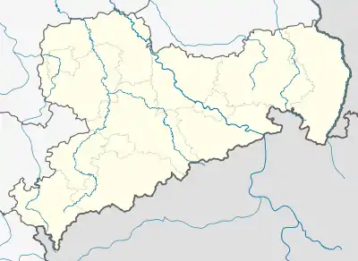
Neuwernsdorf | |
|---|---|
Location of Neuwernsdorf in the district of Mittelsachsen  | |
 Neuwernsdorf  Neuwernsdorf | |
| Coordinates: 50°42′35″N 13°30′05″E / 50.70972°N 13.50139°E | |
| Country | Germany |
| State | Saxony |
| District | Mittelsachsen |
| Municipality | Neuhausen/Erzgeb. |
| Elevation | 590 m (1,940 ft) |
| Population (2008-12-31) | |
| • Total | 130 |
| Time zone | UTC+01:00 (CET) |
| • Summer (DST) | UTC+02:00 (CEST) |
| Postal codes | 09544 |
| Dialling codes | 037327 |
Neuwernsdorf is a village in the municipality of Neuhausen/Erzgeb. in the extreme south of the Saxon district of Mittelsachsen, immediately next to the Czech border by Český Jiřetín and the Rauschenbach Dam.
Literature
- Festschrift 750 Jahre Cämmerswalde. Reinhard Rodefeld, 1957
- Festschrift 800 Jahre Cämmerswalde. Festausschuss, Reinhold Hegewald, 2007
- Cämmerswalde parish archives
- Um Olbernhau und Seiffen. Edition no. 1 Akademie-Verlag Berlin, Berlin 1985 (Werte unserer Heimat. Vol. 43).
- Gazettes for the parishes of Cämmerswalde and Neuhausen/Erzgebirge
- Historisches Ortsnamenbuch von Sachsen. 3 vols., ed. by Ernst Eichler and Hans Walther, worked by Ernst Eichler, Volkmar Hellfritzsch, Hans Walther and Erika Weber (sources and research into Saxon history 21), Berlin 2001, Vol. I, p. 135
- Beschreibende Darstellung der älteren Bau- und Kunstdenkmäler des Königreichs Sachsen, 41 Hefte, Heft 1–15 bearb. von Richard Steche, Heft 16–41 bearb. von Cornelius Gurlitt, Dresden 1882–1923, Heft 3, p. 3
References
External links
- Neuwernsdorf in the Digital Historic Index of Places in Saxony (Digitales Historisches Ortsverzeichnis von Sachsen)
This article is issued from Wikipedia. The text is licensed under Creative Commons - Attribution - Sharealike. Additional terms may apply for the media files.