Nilambazar | |
|---|---|
a small town in india | |
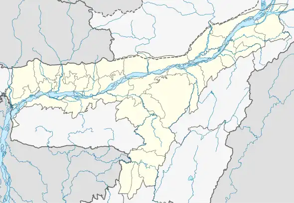
 Nilambazar Location in Assam, India  Nilambazar Nilambazar (India) | |
| Coordinates: 24°45′0″N 92°21′0″E / 24.75000°N 92.35000°E | |
| Country | |
| State | Assam |
| District | Karimganj |
| Government | |
| • Body | Nilambazar Gaon Panchaiat |
| Elevation | 14 m (46 ft) |
| Languages | |
| • Official | Bengali |
| Time zone | UTC+5:30 (IST) |
| PIN | |
| Lok Sabha constituency | Karimganj (Lok Sabha constituency) |
| Vidhan Sabha constituency | Nilambazar (Assembly constituency) |
Nilambazar is a village located in Karimganj district in the Indian state of Assam. It is 329.9 kilometres south of the state capital Guwahati and 16.1 kilometres south of the district headquarters Karimganj.
Geography
Nilambazar is located at 24°N 92°E / 24°N 92°E.[1] It has an average elevation of 14 metres (46 feet).
Roadways
Regular bus services connect Nilambazar with Guwahati, Shillong and Agartala via NH 8 (previously NH 44).
See also
References
This article is issued from Wikipedia. The text is licensed under Creative Commons - Attribution - Sharealike. Additional terms may apply for the media files.