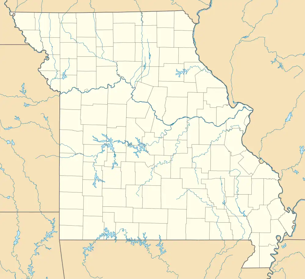
Nogo, Missouri | |
|---|---|
Former town | |
 Nogo, Missouri | |
| Coordinates: 37°15′10″N 93°09′55″W / 37.2528°N 93.1653°W | |
| Country | United States |
| State | Missouri |
| County | Greene |
| Elevation | 1,414 ft (431 m) |
| Time zone | UTC-6 (Central (CST)) |
| • Summer (DST) | UTC-5 (CDT) |
| GNIS feature ID | 736375[1] |
Nogo (also Mulroy) is a former town in Greene County, Missouri, United States,[1] on old U.S. Route 66. The site is now completely inside the city of Strafford.
The name derived from the inability to name the town and someone made the comment that it was "a no-go." The name "Nogo" then became the name of the town.[2]
References
This article is issued from Wikipedia. The text is licensed under Creative Commons - Attribution - Sharealike. Additional terms may apply for the media files.
