| North Rauceby | |
|---|---|
 North Rauceby village sign | |
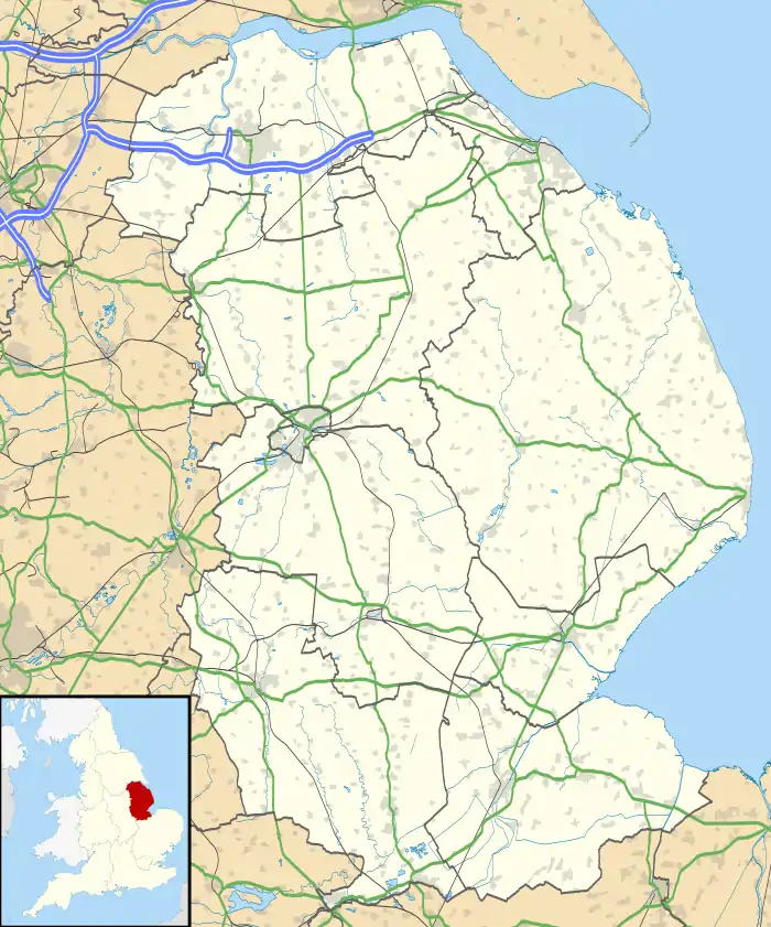
 North Rauceby Location within Lincolnshire | |
| Population | 159 (2011)[1] |
| OS grid reference | TF024464 |
| • London | 105 mi (169 km) S |
| District | |
| Shire county | |
| Region | |
| Country | England |
| Sovereign state | United Kingdom |
| Post town | SLEAFORD |
| Postcode district | NG34 |
| Dialling code | 01529 |
| Police | Lincolnshire |
| Fire | Lincolnshire |
| Ambulance | East Midlands |
| UK Parliament | |
North Rauceby is a village and civil parish in the North Kesteven district of Lincolnshire, England. It is situated 4 miles (6 km) north-west from Sleaford, and at the 2011 census had 159 residents.[1]
North Rauceby is a shrunken village, being associated with a partial lost settlement.[2]
The Church of England parish church is dedicated to St Peter, and is situated on Church Lane; it serves both North and South Rauceby and is in the group of churches that includes those of surrounding villages. The church has a spire that reaches 107 feet (33 metres) high.[3] The village school is Rauceby Primary School, which also serves South Rauceby and other local villages.
North Rauceby is home to Cranwell Aviation Heritage Centre; its site also houses a park for touring caravans. The Rauceby Maize Maze is an attraction during the summer months.
There is no bus service for North Rauceby, except for school children during term time.
References
- 1 2 "Civil Parish population 2011". Neighbourhood Statistics. Office for National Statistics. Retrieved 26 May 2016.
- ↑ Historic England. "Shrunken village at North Rauceby, Lincolnshire (348926)". Research records (formerly PastScape). Retrieved 8 April 2010.
- ↑ Flannery, Julian (2016). Fifty English Steeples: The Finest Medieval Parish Church Towers and Spires in England. New York City, New York, United States: Thames and Hudson. pp. 78-83. ISBN 978-0-500-34314-2.
External links
 Media related to North Rauceby at Wikimedia Commons