| Oakajee Western Australia | |
|---|---|
 Oakajee | |
| Coordinates | 28°36′07″S 114°36′43″E / 28.602°S 114.612°E |
| Population | 0 (SAL 2016)[1][2] |
| Established | 1996 |
| Postcode(s) | 6532 |
| Area | 32.5 km2 (12.5 sq mi) |
| Location | |
| LGA(s) | Shire of Chapman Valley |
| State electorate(s) | Moore |
| Federal division(s) | Durack |
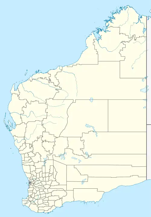
Oakajee is a locality in the Mid West region of Western Australia, about 25 kilometres (16 mi) north of the city of Geraldton.[3]
Oakajee was a location on the Northampton railway line between 1879 and 1957.[4]
The area was associated with the Oakajee Port proposal, a project with a long history of attempts to secure funding for construction, the most recent having stalled in 2014.[5][6]
References
- ↑ Australian Bureau of Statistics (27 June 2017). "Oakajee (suburb and locality)". Australian Census 2016.
- ↑ Australian Bureau of Statistics (27 June 2017). "Oakajee (suburb and locality)". Australian Census 2016 QuickStats. Retrieved 28 June 2022.
- ↑ "Oakajee". Gazetteer of Australia. Archived from the original on 5 June 2011. Retrieved 30 July 2008.
- ↑ "Military Camp at Oakagee". Geraldton Guardian (WA : 1906 - 1928). WA: National Library of Australia. 26 October 1906. p. 3. Retrieved 8 November 2012.
- ↑ Saunders, Amanda. "Padbury shares plunge 79% as Oakajee fail comes back to bite". www.smh.com.au. Fairfax Media. Retrieved 15 July 2014.
- ↑ "Oakajee Port and Rail to build new Mid-West iron ore port". Government Media Office. 29 July 2008. Retrieved 30 July 2008.
This article is issued from Wikipedia. The text is licensed under Creative Commons - Attribution - Sharealike. Additional terms may apply for the media files.