| Onibe | |
|---|---|
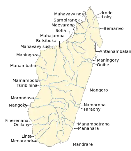 | |
 Map of the Onibe River watershed | |
| Location | |
| Country | Madagascar |
| Region | Atsinanana |
| Physical characteristics | |
| Source | |
| • location | Atsinanana |
| • elevation | 0 m (0 ft) |
| Mouth | Indian Ocean |
• location | Mahavelona |
• coordinates | 17°38′00″S 49°29′00″E / 17.63333°S 49.48333°E |
• elevation | 0 m (0 ft) |
| Length | 0 km (0 mi) |
| Basin size | 965 km2 (373 sq mi) |
Onibe is a river in the east of Madagascar.
Its mouth is in the Indian Ocean at the city of Mahavelona (Foulpointe) in the region of Atsinanana.[1]
References
This article is issued from Wikipedia. The text is licensed under Creative Commons - Attribution - Sharealike. Additional terms may apply for the media files.