Ottenthal | |
|---|---|
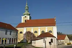 Ottenthal parish church | |
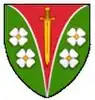 Coat of arms | |
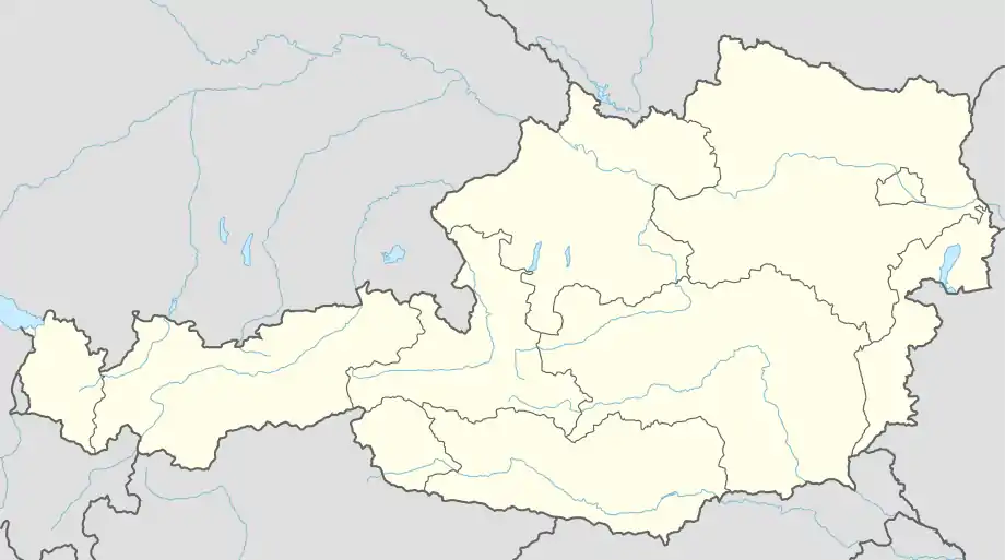 Ottenthal Location within Austria | |
| Coordinates: 48°46′N 16°35′E / 48.767°N 16.583°E | |
| Country | Austria |
| State | Lower Austria |
| District | Mistelbach |
| Government | |
| • Mayor | Albert Graf |
| Area | |
| • Total | 15.39 km2 (5.94 sq mi) |
| Elevation | 240 m (790 ft) |
| Population (2018-01-01)[2] | |
| • Total | 544 |
| • Density | 35/km2 (92/sq mi) |
| Time zone | UTC+1 (CET) |
| • Summer (DST) | UTC+2 (CEST) |
| Postal code | 2163 |
| Area code | 02554 |
Ottenthal is a town in the district of Mistelbach in the Austrian state of Lower Austria.
Population
| Year | Pop. | ±% |
|---|---|---|
| 1971 | 768 | — |
| 1981 | 679 | −11.6% |
| 1991 | 656 | −3.4% |
| 2001 | 626 | −4.6% |
References
- ↑ "Dauersiedlungsraum der Gemeinden Politischen Bezirke und Bundesländer - Gebietsstand 1.1.2018". Statistics Austria. Retrieved 10 March 2019.
- ↑ "Einwohnerzahl 1.1.2018 nach Gemeinden mit Status, Gebietsstand 1.1.2018". Statistics Austria. Retrieved 9 March 2019.
This article is issued from Wikipedia. The text is licensed under Creative Commons - Attribution - Sharealike. Additional terms may apply for the media files.