Oud Annerveen | |
|---|---|
Village | |
 Oud-Annerveen in the municipality of Aa en Hunze. | |
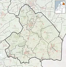 Oud Annerveen Location in the Netherlands 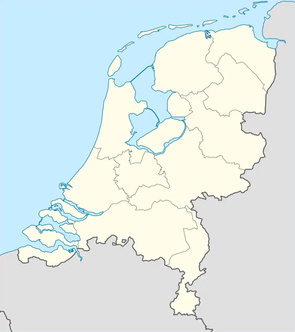 Oud Annerveen Oud Annerveen (Netherlands) | |
| Coordinates: 53°5′19″N 6°45′38″E / 53.08861°N 6.76056°E | |
| Country | Netherlands |
| Province | Drenthe |
| Municipality | Aa en Hunze |
| Area | |
| • Total | 2.03 km2 (0.78 sq mi) |
| Elevation | 2 m (7 ft) |
| Population (2021)[1] | |
| • Total | 125 |
| • Density | 62/km2 (160/sq mi) |
| Time zone | UTC+1 (CET) |
| • Summer (DST) | UTC+2 (CEST) |
| Postal code | 9655[1] |
| Dialing code | 0598 |
Oud-Annerveen is a small village in the municipality of Aa en Hunze in the Dutch province of Drenthe. It lies in the extreme northwest of the town. It lies on the southeast side against Spijkerboor in the northeast bordering the Zuidlaarderveen. The Hunze river flows parallel to the main street, just south of the village.
The village was first mentioned in 1498 as "dat vene gelegen up Anner vene", and means "the old peat (colony) belonging to Annen. Oud (old) has been added to distinguish between Nieuw-Annerveen.[3] Oud-Annerveen developed when the communal lands where split in 1457. It was mainly inhabited by small farmers who excavated the peat and worked the land.[4]
Oud-Annerveen was home to 191 people in 1840.[4]
References
- 1 2 3 "Kerncijfers wijken en buurten 2021". Central Bureau of Statistics. Retrieved 13 March 2022.
- ↑ "Postcodetool for 9655PD". Actueel Hoogtebestand Nederland (in Dutch). Het Waterschapshuis. Retrieved 12 March 2022.
- ↑ "Oud-Annerveen - (geografische naam)". Etymologiebank (in Dutch). Retrieved 10 April 2022.
- 1 2 "Oud-Annerveen". Plaatsengids (in Dutch). Retrieved 10 April 2022.
This article is issued from Wikipedia. The text is licensed under Creative Commons - Attribution - Sharealike. Additional terms may apply for the media files.