Panhandle, Ohio | |
|---|---|
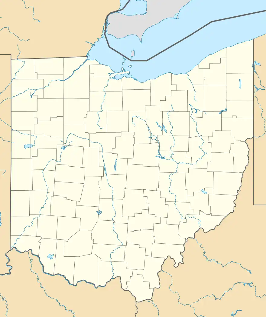 Panhandle, Ohio Location of Panhandle, Ohio | |
| Coordinates: 40°21′31″N 80°52′07″W / 40.35861°N 80.86861°W | |
| Country | United States |
| State | Ohio |
| Counties | Jefferson |
| Elevation | 997 ft (304 m) |
| Time zone | UTC-5 (Eastern (EST)) |
| • Summer (DST) | UTC-4 (EDT) |
| ZIP code | 43910 |
| Area code | 740 |
| GNIS feature ID | 1062930[1] |
Panhandle is an unincorporated community in Wayne Township, Jefferson County, Ohio, United States. It is located northwest of Bloomingdale and just west of Unionport at the intersection of Carman Road and Township Road 201, at 40°21′31″N 80°52′07″W / 40.35861°N 80.86861°W.[2][3]
The Panhandle Post Office was established on August 16, 1911, and discontinued on October 15, 1923. Mail service is now handled through the Unionport branch.[4]
References
- 1 2 "US Board on Geographic Names". United States Geological Survey. 2007-10-25. Retrieved 2020-01-15.
- ↑ U.S. Geological Survey Geographic Names Information System: Panhandle, Ohio
- ↑ Rand McNally. The Road Atlas '06. Chicago: Rand McNally, 2006, 78.
- ↑ U.S. Geological Survey Geographic Names Information System: Panhandle Post Office (historical)
Municipalities and communities of Jefferson County, Ohio, United States | ||
|---|---|---|
| Cities |  Map of Ohio highlighting Jefferson County | |
| Villages | ||
| Townships | ||
| CDPs | ||
| Other communities |
| |
| Footnotes | ‡This populated place also has portions in an adjacent county or counties | |
This article is issued from Wikipedia. The text is licensed under Creative Commons - Attribution - Sharealike. Additional terms may apply for the media files.