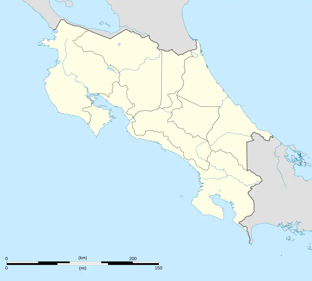
Paquera | |
|---|---|
Paquera district | |
 Paquera Paquera district location in Costa Rica | |
| Coordinates: 9°49′35″N 84°57′52″W / 9.8264782°N 84.9644126°W | |
| Country | Costa Rica |
| Province | Puntarenas |
| Canton | Puntarenas |
| Area | |
| • Total | 337.7 km2 (130.4 sq mi) |
| Elevation | 10 m (30 ft) |
| Population (2011) | |
| • Total | 6,686 |
| • Density | 20/km2 (51/sq mi) |
| Time zone | UTC−06:00 |
| Postal code | 60105 |
Paquera is a district of the Puntarenas canton, in the Puntarenas province of Costa Rica.[1][2]
History
During the colonial period the entire Nicoya Peninsula was administratively part of the Partido de Nicoya (nowadays Guanacaste), it was at the beginning of the 20th century that President Alfredo González Flores signed a decree that transferred the administration of Lepanto along with Paquera and Cóbano (towns in the extreme south of the Nicoya peninsula) to the province of Puntarenas. This was due to the fact that at that time it was faster to reach Paquera by sea by boat from Puntarenas, than by the existing land routes to Nicoya. At present there is a certain political impulse in Guanacaste to administratively reincorporate the entire Nicoya peninsula into the province of Guanacaste, arguing that the Inter-American Highway allows rapid land communication with Guanacaste, in addition they argue that the word Guanacaste is internationally associated with tourism and that therefore probably the beaches of the south of the peninsula are more visited by foreign tourists.[3]
Geography
Paquera has an area of 337.7 square kilometres (130.4 sq mi)[4] and an elevation of 10 metres (33 ft).[1]
Demographics
| Historical population | |||
|---|---|---|---|
| Census | Pop. | %± | |
| 1883 | 236 | — | |
| 1927 | 1,182 | — | |
| 1950 | 4,948 | 318.6% | |
| 1963 | 9,664 | 95.3% | |
| 1973 | 4,947 | −48.8% | |
| 1984 | 4,727 | −4.4% | |
| 2000 | 5,666 | 19.9% | |
| 2011 | 6,686 | 18.0% | |
|
Instituto Nacional de Estadística y Censos[5] |
|||
For the 2011 census, Paquera had a population of 6,686 inhabitants.[7]
Transportation
Road transportation
The district is covered by the following road routes:
References
- 1 2 "Declara oficial para efectos administrativos, la aprobación de la División Territorial Administrativa de la República N°41548-MGP". Sistema Costarricense de Información Jurídica (in Spanish). 19 March 2019. Retrieved 26 September 2020.
- ↑ División Territorial Administrativa de la República de Costa Rica (PDF) (in Spanish). Editorial Digital de la Imprenta Nacional. 8 March 2017. ISBN 978-9977-58-477-5.
- ↑ "Guanacaste quiere más Península ¿para qué?". Voz de Guanacaste (in European Spanish). 2016-09-12. Retrieved 2021-08-30.
- ↑ "Área en kilómetros cuadrados, según provincia, cantón y distrito administrativo". Instituto Nacional de Estadística y Censos (in Spanish). Retrieved 26 September 2020.
- ↑ "Instituto Nacional de Estadística y Censos" (in Spanish).
- ↑ "Sistema de Consulta de a Bases de Datos Estadísticas". Centro Centroamericano de Población (in Spanish).
- ↑ "Censo. 2011. Población total por zona y sexo, según provincia, cantón y distrito". Instituto Nacional de Estadística y Censos (in Spanish). Retrieved 26 September 2020.