| Parowan Valley | |
|---|---|
| Little Salt Lake Valley | |
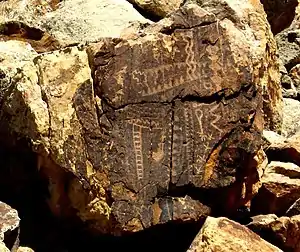
 Fremont culture petroglyphs in Parowan Gap | |
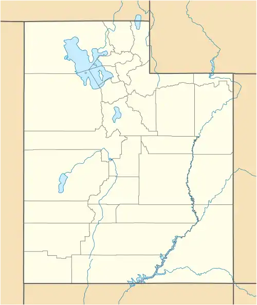
 Parowan Valley  Parowan Valley Parowan Valley (the United States) | |
| Floor elevation | 5,682 ft (1,732 m) |
| Length | 26 mi (42 km) |
| Width | 6.5 mi (10.5 km) |
| Area | 140 sq mi (360 km2) |
| Depth | 1,680 ft (510 m) |
| Geography | |
| Coordinates | 37°56′28″N 112°48′14″W / 37.941111°N 112.803889°W |
Parowan Valley, originally known as the Little Salt Lake Valley, is a basin in Iron County, Utah, United States.[1]
Description
Its lowest point is at 5,695 feet (1,736 m) in the Little Salt Lake.
Fremont Wash, Red Creek, Parowan Creek and other tributaries all drain into the Little Salt Lake. In times that the lake overflows it is drained through the Parowan Gap that passes through the Red Hills into Jackrabbit Wash, in Cedar Valley.[1]
See also
References
External links
Wikimedia Commons has media related to Parowan Valley.
- Petroglyph day; interpretations and mysteries of Parowan Gap, St. George News, June 16, 2019
This article is issued from Wikipedia. The text is licensed under Creative Commons - Attribution - Sharealike. Additional terms may apply for the media files.