Patilpada | |
|---|---|
village | |
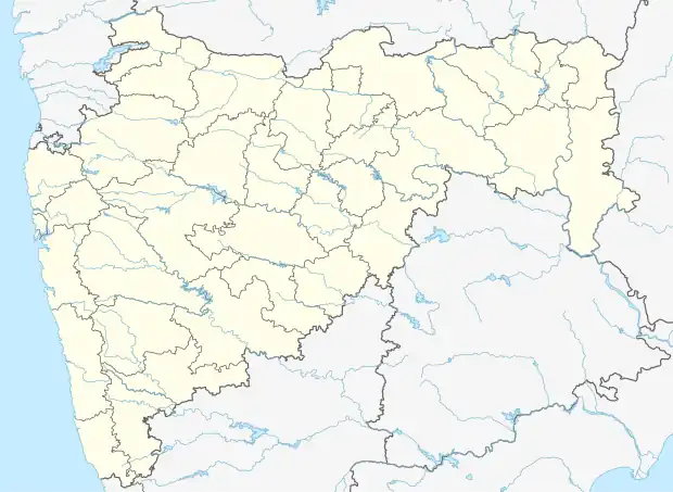 Patilpada Location in Maharashtra, India  Patilpada Patilpada (India) | |
| Coordinates: 20°04′01″N 73°03′41″E / 20.06681537°N 73.06127071°E | |
| Country | India |
| State | Maharashtra |
| District | Palghar |
| Taluka | Dahanu |
| Elevation | 221 m (725 ft) |
| Population (2011) | |
| • Total | 441 |
| Time zone | UTC+5:30 (IST) |
| 2011 census code | 551628 |
Patilpada is a village in the Palghar district of Maharashtra, India. It is located in the Dahanu taluka.[1]
Demographics
According to the 2011 census of India, Patilpada has 119 households. The effective literacy rate (i.e. the literacy rate of population excluding children aged 6 and below) is 13.31%.[2]
| Total | Male | Female | |
|---|---|---|---|
| Population | 441 | 178 | 263 |
| Children aged below 6 years | 133 | 60 | 73 |
| Scheduled caste | 0 | 0 | 0 |
| Scheduled tribe | 433 | 173 | 260 |
| Literates | 41 | 28 | 13 |
| Workers (all) | 228 | 92 | 136 |
| Main workers (total) | 217 | 88 | 129 |
| Main workers: Cultivators | 102 | 38 | 64 |
| Main workers: Agricultural labourers | 106 | 43 | 63 |
| Main workers: Household industry workers | 0 | 0 | 0 |
| Main workers: Other | 9 | 7 | 2 |
| Marginal workers (total) | 11 | 4 | 7 |
| Marginal workers: Cultivators | 6 | 3 | 3 |
| Marginal workers: Agricultural labourers | 4 | 1 | 3 |
| Marginal workers: Household industry workers | 0 | 0 | 0 |
| Marginal workers: Others | 1 | 0 | 1 |
| Non-workers | 213 | 86 | 127 |
References
- ↑ "Maharashtra villages" (PDF). Land Records Information Systems Division, NIC. Archived from the original (PDF) on 4 March 2016. Retrieved 17 August 2015.
- 1 2 "District census data". 2011 Census of India. Directorate of Census Operations. Retrieved 17 August 2015.
This article is issued from Wikipedia. The text is licensed under Creative Commons - Attribution - Sharealike. Additional terms may apply for the media files.