Pečiukai | |
|---|---|
City neighborhood | |
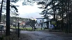
 Entrance to Konservatorijos gardens in Pečiukai | |
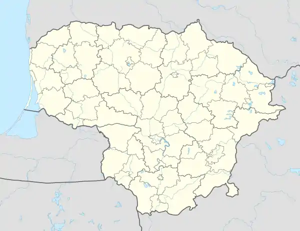
 Pečiukai Location of Pečiukai | |
| Coordinates: 54°46′55″N 25°22′4″E / 54.78194°N 25.36778°E | |
| Country | |
| County | Vilnius County |
| Municipality | Vilnius city municipality |
| Time zone | UTC+2 (EET) |
| • Summer (DST) | UTC+3 (EEST) |
Pečiukai (Polish: Pieczuki) is a neighborhood of Vilnius located in the Antakalnis Eldership. It is situated northwest of the city center, on the left bank of the Neris river, south of Liepynė.
History
A homestead was located in the present-day Pečiukai. In 1748, a ferry is supposed to have been located in the area.[1]
References
- ↑ Vykintas Vaitkevičius. Neris. 2007 metų ekspedicija. Antra knyga. Vilnius: Mintis, 2012.
This article is issued from Wikipedia. The text is licensed under Creative Commons - Attribution - Sharealike. Additional terms may apply for the media files.