Pelican Narrows Airport | |||||||||||
|---|---|---|---|---|---|---|---|---|---|---|---|
| Summary | |||||||||||
| Airport type | Public | ||||||||||
| Operator | Ministry of Highways & Infrastructure | ||||||||||
| Location | Pelican Narrows, Saskatchewan | ||||||||||
| Time zone | CST (UTC−06:00) | ||||||||||
| Elevation AMSL | 1,264 ft / 385 m | ||||||||||
| Coordinates | 55°17′14″N 102°44′58″W / 55.28722°N 102.74944°W | ||||||||||
| Map | |||||||||||
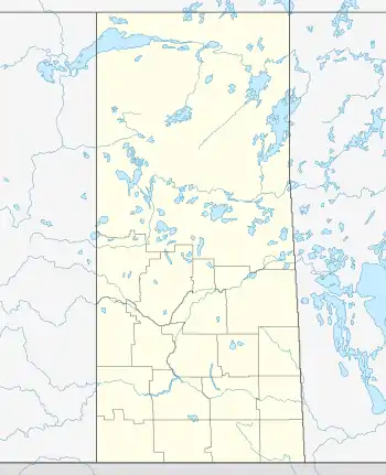
 CJW4 Location in Saskatchewan  CJW4 CJW4 (Canada) | |||||||||||
| Runways | |||||||||||
| |||||||||||
Sources: Canada Flight Supplement[1] | |||||||||||
Pelican Narrows Airport (TC LID: CJW4) is located 10 nautical miles (19 km; 12 mi) north north-east of Pelican Narrows, Saskatchewan, Canada.
Pelican Narrows Airport was opened in the 1980s. It contains no lights or buildings and has a gravel airstrip.[2]
See also
References
This article is issued from Wikipedia. The text is licensed under Creative Commons - Attribution - Sharealike. Additional terms may apply for the media files.