Moio della Civitella | |
|---|---|
| Comune di Moio della Civitella | |
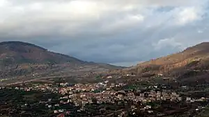
 The town of Moio della Civitella with its frazione Pellare | |
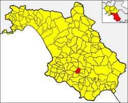
 Moio della Civitella within the Province of Salerno | |
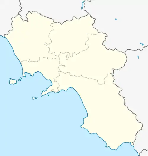
Location of Moio della Civitella | |
 Moio della Civitella Location of Moio della Civitella in Italy  Moio della Civitella Moio della Civitella (Campania) | |
| Coordinates: 40°15′N 15°16′E / 40.250°N 15.267°E | |
| Country | Italy |
| Region | Campania |
| Province | Salerno (SA) |
| Frazioni | Pellare |
| Government | |
| • Mayor | Antonio Gnarra (Lista Civica) |
| Area | |
| • Total | 16.94 km2 (6.54 sq mi) |
| Elevation | 515 m (1,690 ft) |
| Population (December 2009)[2] | |
| • Total | 1,929 |
| • Density | 110/km2 (290/sq mi) |
| Demonym(s) | Mojicani (for Moio proper) Pellaresi (for Pellare) |
| Time zone | UTC+1 (CET) |
| • Summer (DST) | UTC+2 (CEST) |
| Postal code | 84060 |
| Dialing code | 0974 |
| Patron saint | Santa Veneranda |
| Saint day | 26 July |
| Website | Official website |
Moio della Civitella is a town and comune in the province of Salerno in the Campania region of south-western Italy.
Geography
Located in the middle of Cilento, Moio borders with the municipalities of Campora, Cannalonga, Gioi, and Vallo della Lucania.[3] It counts a single hamlet (frazione), that is the nearby village of Pellare. The nearest towns and villages are Vallo della Lucania (3,5 km), Cannalonga (4 km), Angellara (2,5 km), and Cardile (5 km).
See also
References
- ↑ "Superficie di Comuni Province e Regioni italiane al 9 ottobre 2011". Italian National Institute of Statistics. Retrieved 16 March 2019.
- ↑ Source: Istat 2009
- ↑ 40382 Moio della Civitella on OpenStreetMap
External links
![]() Media related to Moio della Civitella at Wikimedia Commons
Media related to Moio della Civitella at Wikimedia Commons
This article is issued from Wikipedia. The text is licensed under Creative Commons - Attribution - Sharealike. Additional terms may apply for the media files.