Penta, Chhattisgarh | |
|---|---|
town | |
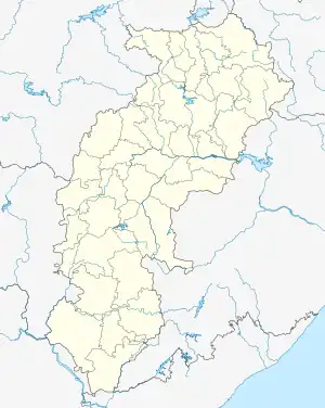 Penta, Chhattisgarh 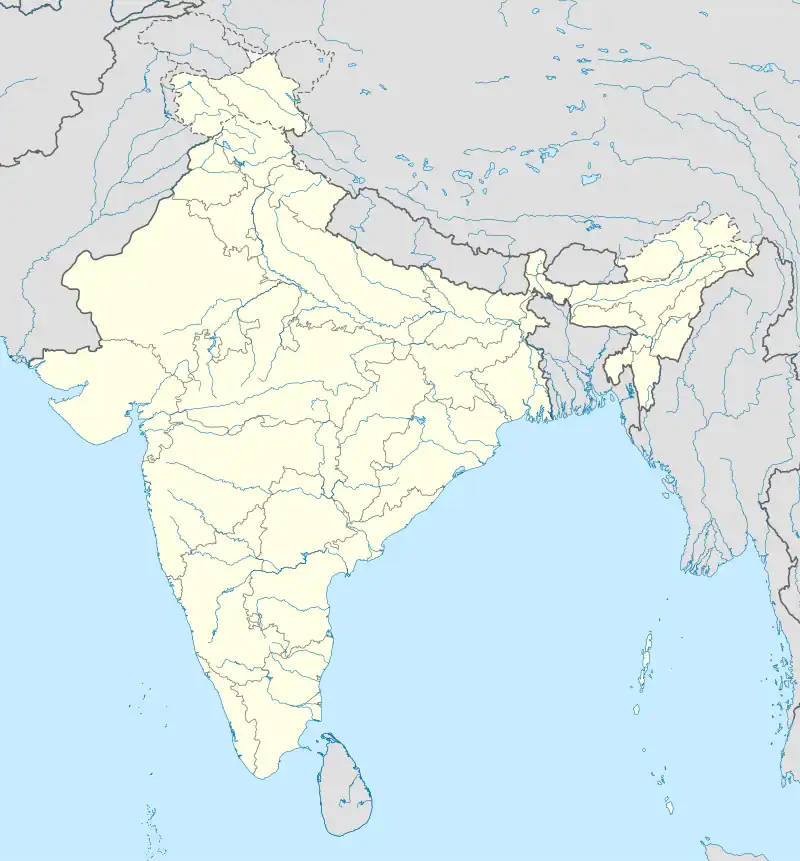 Penta, Chhattisgarh | |
| Coordinates: 18°7′0″N 81°29′0″E / 18.11667°N 81.48333°E | |
| Country | India |
| State | Chhattisgarh |
| District | Dantewada |
| Elevation | 121 m (397 ft) |
| Languages | |
| • Official | Hindi, Chhattisgarhi |
| Time zone | UTC+5:30 (IST) |
| Vehicle registration | CG |
| Coastline | 0 kilometres (0 mi) |
Penta is a town in Dantewada district, Chhattisgarh, India.
Geography
It is located at 18°7′0″N 81°29′0″E / 18.11667°N 81.48333°E at an elevation of 121 m above MSL.[1]
Location
Penta is connected to Jagdalpur by National Highway 221.
References
- ↑ http://www.fallingrain.com/world/IN/37/Penta.html Map and weather of Penta
Nearest Airport is Hyderabad and nearest railway station head is dantewada.
External links
This article is issued from Wikipedia. The text is licensed under Creative Commons - Attribution - Sharealike. Additional terms may apply for the media files.