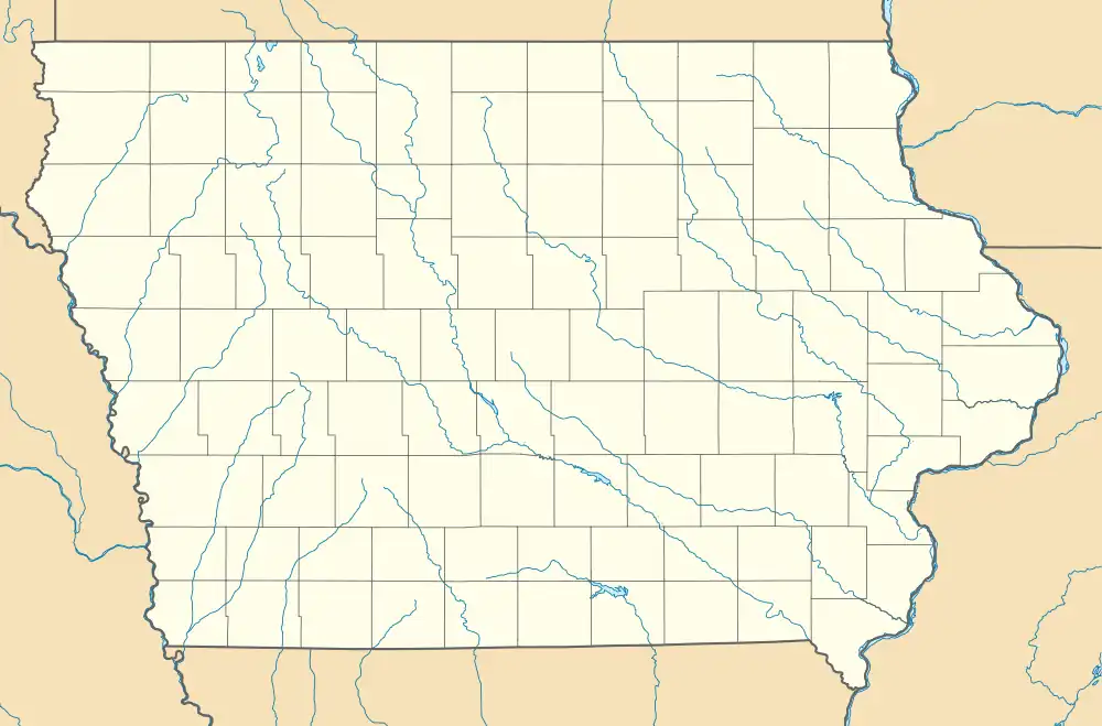
Peoria, Iowa | |
|---|---|
 Peoria  Peoria | |
| Coordinates: 41°27′43″N 92°48′05″W / 41.46194°N 92.80139°W | |
| Country | United States |
| State | Iowa |
| County | Mahaska |
| Elevation | 787 ft (240 m) |
| Time zone | UTC-6 (Central (CST)) |
| • Summer (DST) | UTC-5 (CDT) |
| Area code | 641 |
| GNIS feature ID | 460077[1] |
Peoria (/ˈpɪrˌiː/) is an unincorporated community in Richland Township, Mahaska County, Iowa, United States.[1] Peoria is located along County Highway T33 7.2 miles (11.6 km) northeast of Pella.[2]
Peoria was along the route of the Century Loop on the 2018 RAGBRAI.[3]
References
- 1 2 "Peoria". Geographic Names Information System. United States Geological Survey, United States Department of the Interior.
- ↑ "Mahaska County, Iowa Highway and Transportation Map" (PDF). Iowa Department of Transportation. January 1, 2017. Retrieved August 13, 2018.
- ↑ Kilen, Mike (March 17, 2018). "RAGBRAI route: Passing through these small towns makes it wacky". Des Moines Register. Retrieved August 13, 2018.
This article is issued from Wikipedia. The text is licensed under Creative Commons - Attribution - Sharealike. Additional terms may apply for the media files.