| Percha Dam State Park | |
|---|---|
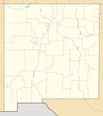
 Location of Percha Dam State Park in New Mexico | |
| Location | Sierra, New Mexico, United States |
| Coordinates | 32°52′7″N 107°18′13″W / 32.86861°N 107.30361°W |
| Area | 80 acres (32 ha) |
| Elevation | 4,100 ft (1,200 m) |
| Established | 1970 |
| Governing body | New Mexico State Parks Division |
Percha Dam State Park is a state park of New Mexico, United States, located 21 miles (34 km) south of Truth or Consequences, New Mexico on the Rio Grande.[1] The park itself encompasses approximately 80 acres (32 ha). The dam is less than 2 miles (3.2 km) downstream of the much larger Caballo Dam, and therefore Percha Dam's reservoir is essentially a wide, slow moving section of river. The dam's purpose is to raise the elevation of the Rio Grande slightly to allow irrigation of the chile pepper crop downstream.
The park is popular for fishing, rafting, kayaking, and bird watching, and it is especially popular during the spring and autumn migration seasons.
References
- ↑ New Mexico State Parks Division. "Percha Dam State Park". New Mexico Energy, Minerals and Natural Resources Department.
External links
This article is issued from Wikipedia. The text is licensed under Creative Commons - Attribution - Sharealike. Additional terms may apply for the media files.