Philadelphia, Missouri | |
|---|---|
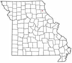 Location of Philadelphia in Missouri | |
| Coordinates: 39°50′19″N 91°44′21″W / 39.83861°N 91.73917°W | |
| Country | United States |
| State | Missouri |
| County | Marion |
| Area | |
| • Total | 0.76 sq mi (1.96 km2) |
| • Land | 0.76 sq mi (1.96 km2) |
| • Water | 0.00 sq mi (0.00 km2) |
| Elevation | 709 ft (216 m) |
| Population (2020) | |
| • Total | 206 |
| • Density | 272.13/sq mi (105.00/km2) |
| ZIP code | 63463[3] |
| Area code | 573 |
| FIPS code | 29-57350 |
| GNIS feature ID | 2806414[2] |
Philadelphia is an unincorporated community and census-designated place in western Marion County, Missouri, United States. It is located approximately ten miles west of Palmyra on Route 168. The community is part of the Hannibal Micropolitan Statistical Area.
Philadelphia was platted in 1835.[4] The community was named after Philadelphia, Pennsylvania.[5] A post office called Philadelphia has been in operation since 1847.[6]
Demographics
| Census | Pop. | Note | %± |
|---|---|---|---|
| 2020 | 206 | — | |
| U.S. Decennial Census[7] | |||
References
- ↑ "ArcGIS REST Services Directory". United States Census Bureau. Retrieved September 5, 2022.
- 1 2 U.S. Geological Survey Geographic Names Information System: Philadelphia, Missouri
- ↑ "Philadelphia MO ZIP Code". zipdatamaps.com. 2023. Retrieved June 16, 2023.
- ↑ "Marion County Place Names, 1928–1945". The State Historical Society of Missouri. Archived from the original on June 24, 2016. Retrieved November 3, 2016.
- ↑ Eaton, David Wolfe (1916). How Missouri Counties, Towns and Streams Were Named. The State Historical Society of Missouri. pp. 193.
- ↑ "Post Offices". Jim Forte Postal History. Retrieved November 3, 2016.
- ↑ "Census of Population and Housing". Census.gov. Retrieved June 4, 2016.
Municipalities and communities of Marion County, Missouri, United States | ||
|---|---|---|
| Cities | 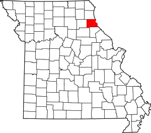 Map of Missouri highlighting Marion County | |
| Townships | ||
| CDP | ||
| Other communities | ||
| Ghost towns | ||
| Footnotes | ‡This populated place also has portions in an adjacent county or counties | |
This article is issued from Wikipedia. The text is licensed under Creative Commons - Attribution - Sharealike. Additional terms may apply for the media files.