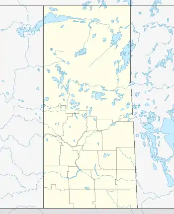
Village of Pierceland | |
|---|---|
Village | |
 Village of Pierceland  Village of Pierceland | |
| Coordinates: 54°20′56″N 109°45′18″W / 54.349°N 109.755°W | |
| Country | Canada |
| Province | Saskatchewan |
| Region | Saskatchewan |
| Census division | 17 |
| Rural Municipality | Beaver River |
| Post office Founded | 1932 April 01 |
| Incorporated (Village) | N/A |
| Incorporated (Town) | N/A |
| Government | |
| • Mayor | Coral Dale |
| • Administrator | Tammy Landry |
| • Council Member | Candace Frolick |
| • Council Member | Jane Eistetter |
| • Council Member | Shannon Wilton
leader_title5 = Council Member leader_name5 = Trudy Buchner |
| Area | |
| • Total | 2.69 km2 (1.04 sq mi) |
| Population (2001) | |
| • Total | 449 |
| • Density | 166.9/km2 (432/sq mi) |
| Time zone | CST |
| Postal code | S0M 2K0 |
| Area code | 306 |
| Highways | Highway 21 Highway 55 |
| Waterways | Pierce Lake Lac des lles |
| Website | Official website |
| [1][2][3][4] | |
Pierceland (2016 population: 598) is a village in the Canadian province of Saskatchewan within the Rural Municipality of Beaver River No. 622 and Census Division No. 17. It is north of the Beaver River on Saskatchewan Highway 55.
History
Pierceland incorporated as a village on January 1, 1973.[5]
Demographics
In the 2021 Census of Population conducted by Statistics Canada, Pierceland had a population of 605 living in 251 of its 285 total private dwellings, a change of 1.2% from its 2016 population of 598. With a land area of 2.74 km2 (1.06 sq mi), it had a population density of 220.8/km2 (571.9/sq mi) in 2021.[8]
In the 2016 Census of Population, the Village of Pierceland recorded a population of 598 living in 249 of its 289 total private dwellings, a 7.9% change from its 2011 population of 551. With a land area of 2.69 km2 (1.04 sq mi), it had a population density of 222.3/km2 (575.8/sq mi) in 2016.[9]
Notable people
- Grant Erickson (born April 28, 1947, in Pierceland) is a retired professional ice hockey player who played 266 games in the World Hockey Association and six games in the National Hockey League.
- Lorna Heiber born April 7, 1960, was the first woman to lead an Aboriginal Government in Saskatchewan. She served as Acting President of the Metis Nation Saskatchewan in 2004 (under the name Lorna Docken). Her son Joey Stylez is a well known musician who has received many honors and has been named one of Canada's top rappers of all time by the Canadian Broadcasting Corporation.
- Melvin “Mel” Coleman Saddle bronc Rodeo Competitor.
See also
References
- ↑ National Archives, Archivia Net, Post Offices and Postmasters, retrieved 2011-03-11
- ↑ Government of Saskatchewan, MRD Home, Municipal Directory System, archived from the original on November 21, 2008
- ↑ Canadian Textiles Institute. (2005), CTI Determine your provincial constituency, archived from the original on 2007-09-11
- ↑ Commissioner of Canada Elections, Chief Electoral Officer of Canada (2005), Elections Canada On-line, archived from the original on 2007-04-21
- ↑ "Urban Municipality Incorporations". Saskatchewan Ministry of Government Relations. Archived from the original on October 15, 2014. Retrieved June 1, 2020.
- ↑ "Saskatchewan Census Population" (PDF). Saskatchewan Bureau of Statistics. Archived from the original (PDF) on September 24, 2015. Retrieved May 31, 2020.
- ↑ "Saskatchewan Census Population". Saskatchewan Bureau of Statistics. Retrieved May 31, 2020.
- ↑ "Population and dwelling counts: Canada, provinces and territories, census divisions and census subdivisions (municipalities), Saskatchewan". Statistics Canada. February 9, 2022. Retrieved April 1, 2022.
- ↑ "Population and dwelling counts, for Canada, provinces and territories, and census subdivisions (municipalities), 2016 and 2011 censuses – 100% data (Saskatchewan)". Statistics Canada. February 8, 2017. Retrieved May 30, 2020.
