| Pig Hill | |
|---|---|
 Site of Special Scientific Interest | |
| Location | MAGiC MaP |
| Nearest town | Hetton-le-Hole, Sunderland |
| Coordinates | 54°47′38″N 1°25′56″W / 54.79389°N 1.43222°W |
| Area | 12.6 ha (31 acres) |
| Established | 1992 |
| Governing body | Natural England |
| Website | Pig Hill SSSI |
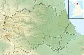
Pig Hill is a Site of Special Scientific Interest in the County Durham district of north-east County Durham, England, situated 1 km south of the village of Easington Lane.
The steep hill slopes support an extensive area of primary magnesian limestone grassland in which blue moor-grass, Sesleria albicans, is abundant. The rich assemblage of grassland species includes a number of rare and local species, bird's-eye primrose, Primula farinosa, adder's-tongue fern, Ophioglossum vulgatum, lesser club-moss, Selaginella selaginoides, and grass of Parnassus, Parnassia palustris, as well as an inland colony of sea plantain, Plantago maritima. [1]
Notable among the fauna is the Durham Argus butterfly, Aricia artaxerxes salmacis, a form which is only found in the magnesian limestone areas of Durham.
References
- ↑ "Pig Hill : Reasons for SSSI status" (PDF). Natural England. Retrieved 1 April 2022.